Distance to and from Ogden, North Carolina
Ogden, NC
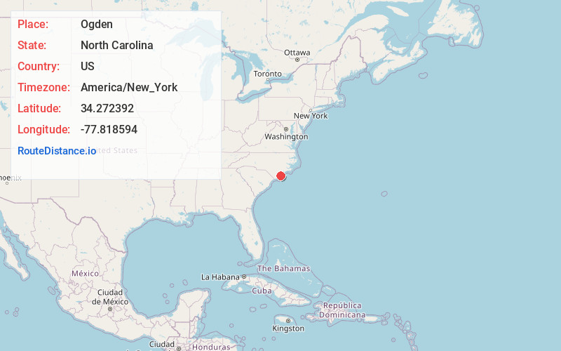
Ogden
North Carolina
US
America/New_York
Location Information
-
Full AddressOgden, NC
-
Coordinates34.2723916, -77.818594
-
LocationOgden , North Carolina , US
-
TimezoneAmerica/New_York
-
Current Local Time7:11:18 PM America/New_YorkSaturday, May 3, 2025
-
Page Views0
Directions to Nearest Cities
About Ogden
Ogden is a census-designated place in New Hanover County, North Carolina, United States. It is both a suburb of the city of Wilmington and part of the Wilmington Metropolitan Statistical Area. The population was 6,766 at the 2010 census, up from 5,481 in 2000.
Nearby Places
Found 7 places within 50 miles

Murrayville
2.3 mi
3.7 km
Murrayville, NC
Get directions

Wilmington
5.8 mi
9.3 km
Wilmington, NC
Get directions

Myrtle Grove
10.2 mi
16.4 km
Myrtle Grove, NC
Get directions

Leland
12.7 mi
20.4 km
Leland, NC
Get directions

Oak Island
31.2 mi
50.2 km
Oak Island, NC
Get directions

Jacksonville
40.0 mi
64.4 km
Jacksonville, NC
Get directions

Piney Green
42.3 mi
68.1 km
Piney Green, NC
Get directions
Location Links
Local Weather
Weather Information
Coming soon!
Location Map
Static map view of Ogden, North Carolina
Browse Places by Distance
Places within specific distances from Ogden
Short Distances
Long Distances
Click any distance to see all places within that range from Ogden. Distances shown in miles (1 mile ≈ 1.61 kilometers).