Distance to Oglala, South Dakota

Calculating Your Route
Just a moment while we process your request...
Location Information
-
Full AddressOglala, SD
-
Coordinates43.1885942, -102.739621
-
LocationOglala , South Dakota , US
-
TimezoneAmerica/Denver
-
Current Local Time10:21:33 AM America/DenverThursday, June 19, 2025
-
Page Views0
About Oglala
Oglala is a census-designated place in West Oglala Lakota Unorganized Territory equivalent, Oglala Lakota County, South Dakota, United States. The population was 1,282 at the 2020 census. Its location is in the northwest of the Pine Ridge Indian Reservation.
The community takes its name from the Oglala Lakota.


Nearby Places
Found 5 places within 50 miles


Location Links
Local Weather
Weather Information
Coming soon!
Location Map
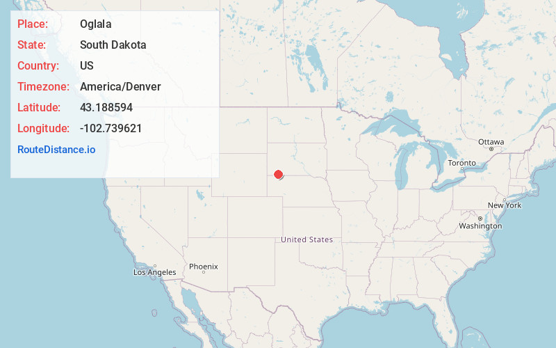
Static map view of Oglala, South Dakota
Browse Places by Distance
Places within specific distances from Oglala
Short Distances
Long Distances
Click any distance to see all places within that range from Oglala. Distances shown in miles (1 mile ≈ 1.61 kilometers).