Distance to Oglesville, Missouri

Calculating Your Route
Just a moment while we process your request...
Location Information
-
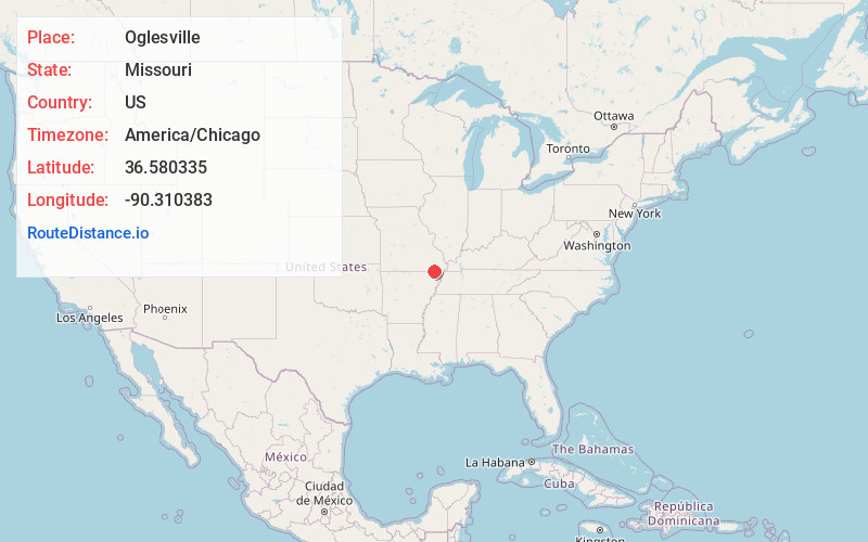
Full AddressOglesville, Gillis Bluff Township, MO 63961
-
Coordinates36.5803354, -90.3103825
-
LocationGillis Bluff Township , Missouri , US
-
TimezoneAmerica/Chicago
-
Current Local Time8:42:08 PM America/ChicagoTuesday, May 20, 2025
-
Page Views0
Nearby Places
Found 10 places within 50 miles

Qulin
3.7 mi
6.0 km
Qulin, MO 63961
Get directions
Broseley
7.6 mi
12.2 km
Broseley, MO 63932
Get directions

Pollard
10.6 mi
17.1 km
Pollard, AR 72456
Get directions
McDougal
10.7 mi
17.2 km
McDougal, AR
Get directions
Harviell
10.7 mi
17.2 km
Harviell, MO
Get directions
Neelyville
10.9 mi
17.5 km
Neelyville, MO 63954
Get directions
St Francis
12.8 mi
20.6 km
St Francis, AR 72454
Get directions

Poplar Bluff
13.0 mi
20.9 km
Poplar Bluff, MO 63901
Get directions
Barron
13.5 mi
21.7 km
Barron, Ash Hill Township, MO 63940
Get directions

Ash Hill
14.2 mi
22.9 km
Ash Hill, MO 63940
Get directions
Location Links
Local Weather
Weather Information
Coming soon!
Location Map
Static map view of Oglesville, Missouri
Browse Places by Distance
Places within specific distances from Oglesville
Short Distances
Long Distances
Click any distance to see all places within that range from Oglesville. Distances shown in miles (1 mile ≈ 1.61 kilometers).