Distance to Olanta, South Carolina

Calculating Your Route
Just a moment while we process your request...
Location Information
-
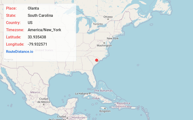
Full AddressOlanta, SC 29114
-
Coordinates33.9354381, -79.9325705
-
LocationOlanta , South Carolina , US
-
TimezoneAmerica/New_York
-
Current Local Time2:57:01 AM America/New_YorkTuesday, June 17, 2025
-
Website
-
Page Views0
About Olanta
Olanta is a town in Florence County, South Carolina, United States. The population was 563 at the 2010 census, down from 613 in 2000. It is part of the Florence Metropolitan Statistical Area.
Nearby Places
Found 10 places within 50 miles

Turbeville
5.8 mi
9.3 km
Turbeville, SC 29162
Get directions

Scranton
10.9 mi
17.5 km
Scranton, SC 29591
Get directions

Lake City
11.1 mi
17.9 km
Lake City, SC 29560
Get directions

Timmonsville
13.8 mi
22.2 km
Timmonsville, SC 29161
Get directions

Mayesville
16.2 mi
26.1 km
Mayesville, SC 29104
Get directions

Lamar
17.8 mi
28.6 km
Lamar, SC 29069
Get directions

Kingstree
19.4 mi
31.2 km
Kingstree, SC 29556
Get directions

Florence
20.5 mi
33.0 km
Florence, SC
Get directions

East Sumter
20.9 mi
33.6 km
East Sumter, SC 29153
Get directions

Pamplico
21.2 mi
34.1 km
Pamplico, SC 29583
Get directions
Location Links
Local Weather
Weather Information
Coming soon!
Location Map
Static map view of Olanta, South Carolina
Browse Places by Distance
Places within specific distances from Olanta
Short Distances
Long Distances
Click any distance to see all places within that range from Olanta. Distances shown in miles (1 mile ≈ 1.61 kilometers).