Distance to Old Jamestown, Missouri

Calculating Your Route
Just a moment while we process your request...
Location Information
-
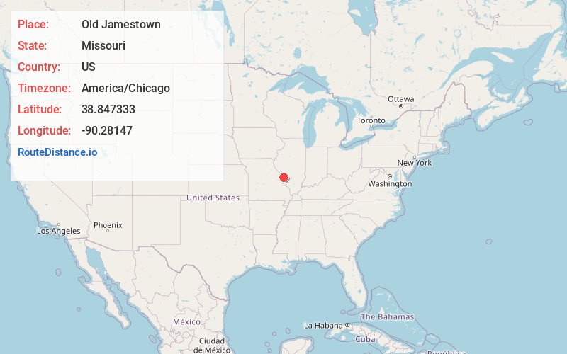
Full AddressOld Jamestown, MO
-
Coordinates38.8473327, -90.2814702
-
LocationOld Jamestown , Missouri , US
-
TimezoneAmerica/Chicago
-
Current Local Time1:01:03 AM America/ChicagoWednesday, June 18, 2025
-
Website
-
Page Views0
About Old Jamestown
Old Jamestown is an unincorporated community and census-designated place in St. Louis County, Missouri, United States. The population was 19,184 at the 2010 census. Old Jamestown is northwest of the city of St. Louis and borders the Missouri River.


Nearby Places
Found 10 places within 50 miles

Florissant
4.6 mi
7.4 km
Florissant, MO
Get directions

Alton
6.0 mi
9.7 km
Alton, IL
Get directions

Hazelwood
7.1 mi
11.4 km
Hazelwood, MO
Get directions

St Charles
11.6 mi
18.7 km
St Charles, MO
Get directions

Maryland Heights
12.2 mi
19.6 km
Maryland Heights, MO
Get directions

Granite City
12.4 mi
20.0 km
Granite City, IL
Get directions

St. Louis
15.9 mi
25.6 km
St. Louis, MO
Get directions

Edwardsville
17.8 mi
28.6 km
Edwardsville, IL
Get directions

Webster Groves
18.1 mi
29.1 km
Webster Groves, MO
Get directions

St Peters
19.2 mi
30.9 km
St Peters, MO
Get directions
Location Links
Local Weather
Weather Information
Coming soon!
Location Map
Static map view of Old Jamestown, Missouri
Browse Places by Distance
Places within specific distances from Old Jamestown
Short Distances
Long Distances
Click any distance to see all places within that range from Old Jamestown. Distances shown in miles (1 mile ≈ 1.61 kilometers).