Distance to Old Myndus, Virginia

Calculating Your Route
Just a moment while we process your request...
Location Information
-
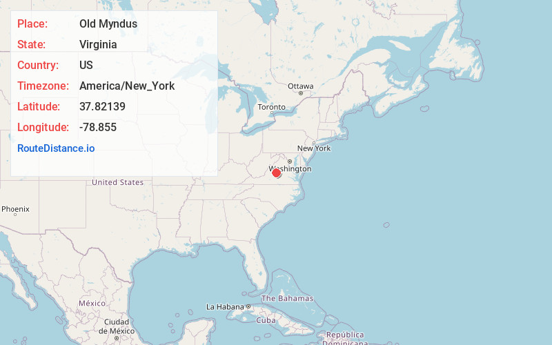
Full AddressOld Myndus, VA 22949
-
Coordinates37.82139, -78.855
-
LocationOld Myndus , Virginia , US
-
TimezoneAmerica/New_York
-
Current Local Time6:45:42 PM America/New_YorkFriday, June 20, 2025
-
Page Views0
About Old Myndus
Old Myndus is an unincorporated community in Nelson County, Virginia, United States.
Myndus is at the head of Davis Creek on US Route 29.
It is predominantly a small farming community at the confluence of Route 29 and VA Route 623, 4 miles north of Lovingston.
Nearby Places
Found 10 places within 50 miles

Woods Mill
2.4 mi
3.9 km
Woods Mill, VA 22949
Get directions
Adial
3.3 mi
5.3 km
Adial, VA 22938
Get directions
Lawthorne Mill
3.7 mi
6.0 km
Lawthorne Mill, VA 22938
Get directions
Lovingston
4.3 mi
6.9 km
Lovingston, VA 22949
Get directions

Nellysford
4.8 mi
7.7 km
Nellysford, VA
Get directions

Wintergreen
5.0 mi
8.0 km
Wintergreen, VA 22958
Get directions
Lakeview Heights
5.5 mi
8.9 km
Lakeview Heights, VA 22971
Get directions

Rockfish
5.6 mi
9.0 km
Rockfish, VA 22971
Get directions
Lodebar
5.7 mi
9.2 km
Lodebar, Nellysford, VA 22958
Get directions
Faber
6.4 mi
10.3 km
Faber, VA 22938
Get directions
Location Links
Local Weather
Weather Information
Coming soon!
Location Map
Static map view of Old Myndus, Virginia
Browse Places by Distance
Places within specific distances from Old Myndus
Short Distances
Long Distances
Click any distance to see all places within that range from Old Myndus. Distances shown in miles (1 mile ≈ 1.61 kilometers).