Distance to Old Stone Fort State Archaeological Park, Tennessee

Calculating Your Route
Just a moment while we process your request...
Location Information
-
Full AddressOld Stone Fort State Archaeological Park, 732 Stone Fort Dr, Manchester, TN 37355
-
Coordinates35.4862509, -86.1026944
-
Street732 Stone Fort Dr
-
LocationManchester , Tennessee , US
-
TimezoneAmerica/Chicago
-
Current Local Time4:45:40 PM America/ChicagoFriday, May 30, 2025
-
Page Views0
About Old Stone Fort State Archaeological Park
Hiking trails, waterfalls & an abundance of archaeological & Native American history exhibits.


Nearby Places
Found 10 places within 50 miles

Manchester
0.9 mi
1.4 km
Manchester, TN 37355
Get directions

Forest Mill
4.2 mi
6.8 km
Forest Mill, TN 37355
Get directions

Rutledge Falls
4.9 mi
7.9 km
Rutledge Falls, TN 37388
Get directions
Ragsdale
5.0 mi
8.0 km
Ragsdale, TN 37355
Get directions
Strauss Mill
5.2 mi
8.4 km
Strauss Mill, TN 37355
Get directions
Boynton Valley
5.5 mi
8.9 km
Boynton Valley, TN 37355
Get directions
Farrar Hill
7.2 mi
11.6 km
Farrar Hill, TN 37355
Get directions
Lake Hills
7.5 mi
12.1 km
Lake Hills, Tullahoma, TN 37388
Get directions
Baucom
7.5 mi
12.1 km
Baucom, TN 37183
Get directions
Ovoca
7.8 mi
12.6 km
Ovoca, TN 37388
Get directions
Location Links
Local Weather
Weather Information
Coming soon!
Location Map
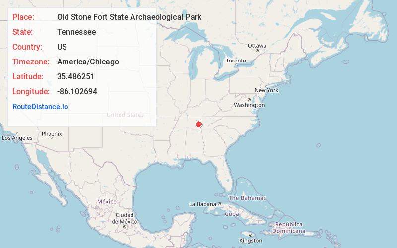
Static map view of Old Stone Fort State Archaeological Park, Tennessee
Browse Places by Distance
Places within specific distances from Old Stone Fort State Archaeological Park
Short Distances
Long Distances
Click any distance to see all places within that range from Old Stone Fort State Archaeological Park. Distances shown in miles (1 mile ≈ 1.61 kilometers).