Distance to Oldenburg, Indiana

Calculating Your Route
Just a moment while we process your request...
Location Information
-
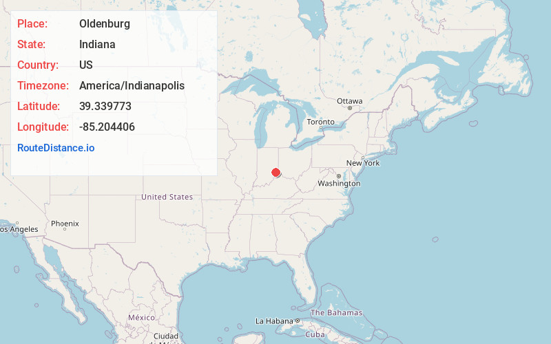
Full AddressOldenburg, IN
-
Coordinates39.339773, -85.2044063
-
LocationOldenburg , Indiana , US
-
TimezoneAmerica/Indianapolis
-
Page Views0
About Oldenburg
Oldenburg is a town in Ray Township, Franklin County, Indiana, United States. The population was 674 at the 2010 census.


Nearby Places
Found 10 places within 50 miles

Batesville
2.9 mi
4.7 km
Batesville, IN 47006
Get directions

Lake Santee
8.2 mi
13.2 km
Lake Santee, IN 47240
Get directions

Sunman
9.2 mi
14.8 km
Sunman, IN 47041
Get directions

Brookville
11.7 mi
18.8 km
Brookville, IN 47012
Get directions

St Leon
13.6 mi
21.9 km
St Leon, IN
Get directions

Greensburg
14.9 mi
24.0 km
Greensburg, IN 47240
Get directions

Osgood
15.3 mi
24.6 km
Osgood, IN 47037
Get directions

Milan
15.6 mi
25.1 km
Milan, IN 47031
Get directions

Versailles
18.7 mi
30.1 km
Versailles, IN
Get directions

Bright
20.4 mi
32.8 km
Bright, IN
Get directions
Location Links
Local Weather
Weather Information
Coming soon!
Location Map
Static map view of Oldenburg, Indiana
Browse Places by Distance
Places within specific distances from Oldenburg
Short Distances
Long Distances
Click any distance to see all places within that range from Oldenburg. Distances shown in miles (1 mile ≈ 1.61 kilometers).