Distance to Oldham County, Kentucky

Calculating Your Route
Just a moment while we process your request...
Location Information
-
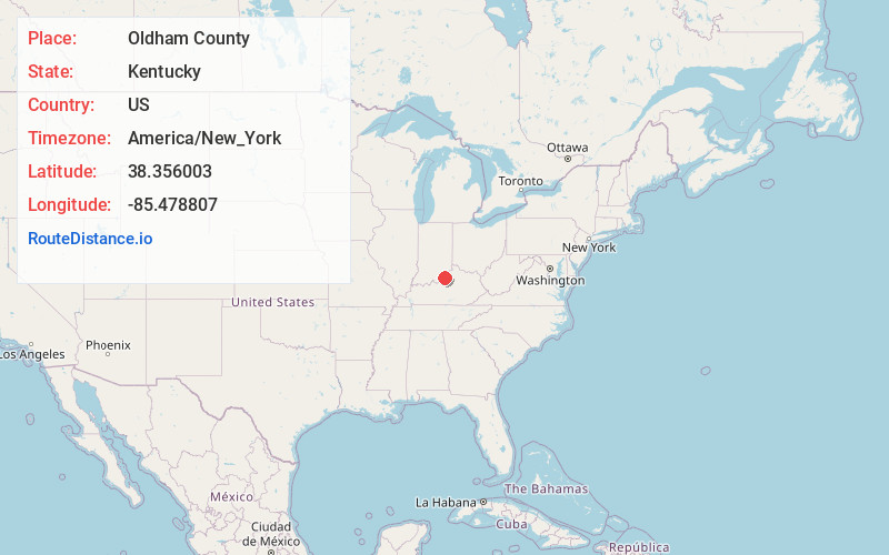
Full AddressOldham County, KY
-
Coordinates38.3560025, -85.4788065
-
LocationKentucky , US
-
TimezoneAmerica/New_York
-
Current Local Time6:43:55 AM America/New_YorkFriday, June 27, 2025
-
Page Views0
About Oldham County
Oldham County is a county located in the north central part of the U.S. state and commonwealth of Kentucky. As of the 2020 census, the population was 67,607. Its county seat is La Grange. The county is named for Colonel William Oldham.


Nearby Places
Found 10 places within 50 miles

Crestwood
2.2 mi
3.5 km
Crestwood, KY 40014
Get directions
Buckner
2.8 mi
4.5 km
Buckner, KY
Get directions

Pewee Valley
3.2 mi
5.1 km
Pewee Valley, KY
Get directions

Orchard Grass Hills
3.2 mi
5.1 km
Orchard Grass Hills, KY 40014
Get directions
Coldstream
3.8 mi
6.1 km
Coldstream, KY 40245
Get directions
Centerfield
3.9 mi
6.3 km
Centerfield, KY 40014
Get directions
Worthington Hills
4.2 mi
6.8 km
Worthington Hills, KY 40245
Get directions
Fincastle
4.8 mi
7.7 km
Fincastle, KY 40241
Get directions

La Grange
6.5 mi
10.5 km
La Grange, KY 40031
Get directions

Goshen
6.5 mi
10.5 km
Goshen, KY 40026
Get directions
Location Links
Local Weather
Weather Information
Coming soon!
Location Map
Static map view of Oldham County, Kentucky
Browse Places by Distance
Places within specific distances from Oldham County
Short Distances
Long Distances
Click any distance to see all places within that range from Oldham County. Distances shown in miles (1 mile ≈ 1.61 kilometers).