Distance to Oleander, California

Calculating Your Route
Just a moment while we process your request...
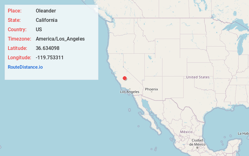
Location Information
-
Full AddressOleander, CA 93725
-
Coordinates36.634098, -119.753311
-
LocationOleander , California , US
-
TimezoneAmerica/Los_Angeles
-
Current Local Time1:16:58 PM America/Los_AngelesSaturday, June 21, 2025
-
Page Views0
About Oleander
Oleander is an unincorporated community in Fresno County, California. It is located 9 miles south-southeast of downtown Fresno, at an elevation of 285 feet.
A post office operated at Oleander from 1881 to 1935, moving in 1899. The name honors its first postmaster, William Oleander Johnson.
Nearby Places
Found 10 places within 50 miles

Bowles
2.1 mi
3.4 km
Bowles, CA 93725
Get directions

Easton
2.3 mi
3.7 km
Easton, CA
Get directions

Malaga
3.6 mi
5.8 km
Malaga, CA 93725
Get directions

Fowler
4.2 mi
6.8 km
Fowler, CA 93625
Get directions

Monmouth
4.9 mi
7.9 km
Monmouth, CA 93725
Get directions
Elm View
6.3 mi
10.1 km
Elm View, CA 93725
Get directions

Fresno
7.4 mi
11.9 km
Fresno, CA
Get directions

Caruthers
7.7 mi
12.4 km
Caruthers, CA 93609
Get directions
Conejo
8.2 mi
13.2 km
Conejo, CA 93725
Get directions

Raisin City
8.6 mi
13.8 km
Raisin City, CA
Get directions
Location Links
Local Weather
Weather Information
Coming soon!
Location Map
Static map view of Oleander, California
Browse Places by Distance
Places within specific distances from Oleander
Short Distances
Long Distances
Click any distance to see all places within that range from Oleander. Distances shown in miles (1 mile ≈ 1.61 kilometers).