Distance to Olex, Oregon

Calculating Your Route
Just a moment while we process your request...
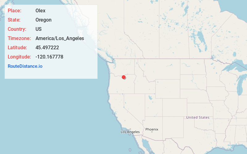
Location Information
-
Full AddressOlex, OR 97812
-
Coordinates45.497222, -120.1677779
-
LocationOlex , Oregon , US
-
TimezoneAmerica/Los_Angeles
-
Current Local Time12:36:11 PM America/Los_AngelesTuesday, June 24, 2025
-
Page Views0
About Olex
Olex is an unincorporated community in Gilliam County, Oregon, United States. It is located along Oregon State Route 19 about halfway between Condon and Arlington, at the bottom of the Rock Creek Grade.
Olex was named for Alex Smith, a local resident; the name was misspelled in transmission.


Nearby Places
Found 10 places within 50 miles

Clem
5.5 mi
8.9 km
Clem, OR 97812
Get directions

Gwendolen Canyon
10.7 mi
17.2 km
Gwendolen Canyon, Oregon 97812
Get directions

Morgan
12.6 mi
20.3 km
Morgan, OR 97843
Get directions

Cecil
13.2 mi
21.2 km
Cecil, OR 97843
Get directions
McDonald
13.3 mi
21.4 km
McDonald, OR 97065
Get directions

Lone Tree Campground
14.1 mi
22.7 km
Lone Tree Campground, Oregon 97823
Get directions

Arlington
15.3 mi
24.6 km
Arlington, OR 97812
Get directions

Ione
16.6 mi
26.7 km
Ione, OR 97843
Get directions
Sundale
17.0 mi
27.4 km
Sundale, WA 98620
Get directions

Condon
18.2 mi
29.3 km
Condon, OR 97823
Get directions
Location Links
Local Weather
Weather Information
Coming soon!
Location Map
Static map view of Olex, Oregon
Browse Places by Distance
Places within specific distances from Olex
Short Distances
Long Distances
Click any distance to see all places within that range from Olex. Distances shown in miles (1 mile ≈ 1.61 kilometers).