Distance to Olivers Crossroads, North Carolina

Calculating Your Route
Just a moment while we process your request...
Location Information
-
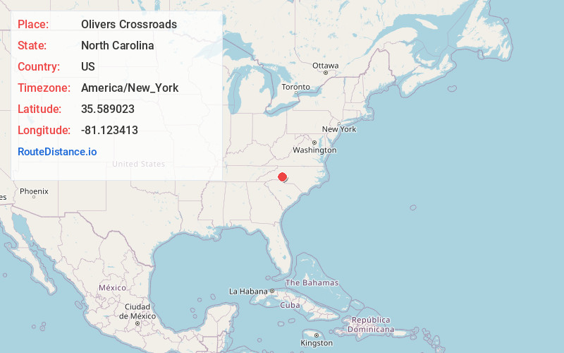
Full AddressOlivers Crossroads, NC 28658
-
Coordinates35.5890225, -81.1234125
-
LocationOlivers Crossroads , North Carolina , US
-
TimezoneAmerica/New_York
-
Current Local Time10:40:30 AM America/New_YorkThursday, June 12, 2025
-
Page Views0
Nearby Places
Found 10 places within 50 miles

Maiden
5.0 mi
8.0 km
Maiden, NC
Get directions

Denver
6.6 mi
10.6 km
Denver, NC
Get directions

Newton
7.8 mi
12.6 km
Newton, NC
Get directions

Catawba
8.6 mi
13.8 km
Catawba, NC 28609
Get directions

Claremont
8.8 mi
14.2 km
Claremont, NC
Get directions

Lake Norman of Catawba
9.2 mi
14.8 km
Lake Norman of Catawba, NC
Get directions

Conover
9.7 mi
15.6 km
Conover, NC
Get directions

Westport
10.1 mi
16.3 km
Westport, NC
Get directions
Iron Station
10.4 mi
16.7 km
Iron Station, NC 28080
Get directions

Lincolnton
10.9 mi
17.5 km
Lincolnton, NC 28092
Get directions
Location Links
Local Weather
Weather Information
Coming soon!
Location Map
Static map view of Olivers Crossroads, North Carolina
Browse Places by Distance
Places within specific distances from Olivers Crossroads
Short Distances
Long Distances
Click any distance to see all places within that range from Olivers Crossroads. Distances shown in miles (1 mile ≈ 1.61 kilometers).