Distance to Olivers Mill, Georgia

Calculating Your Route
Just a moment while we process your request...
Location Information
-
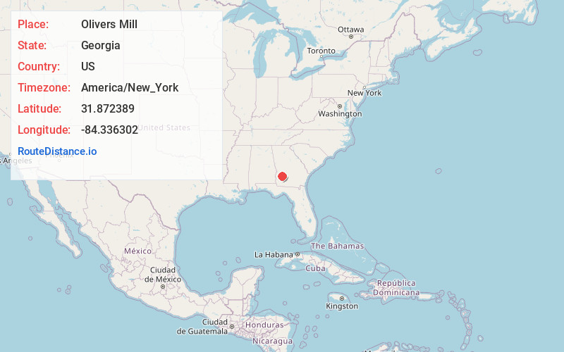
Full AddressOlivers Mill, GA 39842
-
Coordinates31.8723886, -84.3363016
-
LocationGeorgia , US
-
TimezoneAmerica/New_York
-
Current Local Time6:27:16 AM America/New_YorkSunday, June 8, 2025
-
Page Views0
Nearby Places
Found 10 places within 50 miles

Bronwood
3.3 mi
5.3 km
Bronwood, GA
Get directions

Smithville
5.3 mi
8.5 km
Smithville, GA 31787
Get directions
Eagle Pond
6.2 mi
10.0 km
Eagle Pond, GA 31787
Get directions
Bridges Crossroad
7.4 mi
11.9 km
Bridges Crossroad, GA 39842
Get directions
Oakville
7.6 mi
12.2 km
Oakville, GA 39842
Get directions
Neyami
7.9 mi
12.7 km
Neyami, GA 31787
Get directions
Yeomans
8.1 mi
13.0 km
Yeomans, GA 39842
Get directions

Dawson
9.4 mi
15.1 km
Dawson, GA 39842
Get directions
Bottsford
9.6 mi
15.4 km
Bottsford, GA 31780
Get directions
Thalean
10.4 mi
16.7 km
Thalean, GA 31719
Get directions
Location Links
Local Weather
Weather Information
Coming soon!
Location Map
Static map view of Olivers Mill, Georgia
Browse Places by Distance
Places within specific distances from Olivers Mill
Short Distances
Long Distances
Click any distance to see all places within that range from Olivers Mill. Distances shown in miles (1 mile ≈ 1.61 kilometers).