Distance to and from Olivet, North Carolina
Olivet, NC 28789
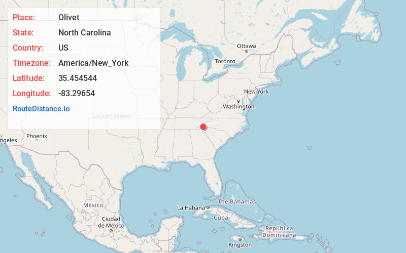
North Carolina
US
America/New_York
Location Information
-
Full AddressOlivet, NC 28789
-
Coordinates35.4545436, -83.2965397
-
LocationNorth Carolina , US
-
TimezoneAmerica/New_York
-
Current Local Time11:55:56 AM America/New_YorkSaturday, May 3, 2025
-
Page Views0
Directions to Nearest Cities
Nearby Places
Found 10 places within 50 miles

Cherokee
2.1 mi
3.4 km
Cherokee, NC
Get directions

Whittier
3.7 mi
6.0 km
Whittier, NC 28789
Get directions

Dillsboro
6.4 mi
10.3 km
Dillsboro, NC 28779
Get directions

Sylva
7.2 mi
11.6 km
Sylva, NC 28779
Get directions

Bryson City
8.6 mi
13.8 km
Bryson City, NC 28713
Get directions

Webster
8.7 mi
14.0 km
Webster, NC 28779
Get directions

Franklin Grove
9.5 mi
15.3 km
Franklin Grove, NC 28713
Get directions
De Hart Mill
11.6 mi
18.7 km
De Hart Mill, NC 28713
Get directions

Cullowhee
11.8 mi
19.0 km
Cullowhee, NC 28723
Get directions

Maggie Valley
12.0 mi
19.3 km
Maggie Valley, NC
Get directions
Cherokee
2.1 mi
3.4 km
Cherokee, NC
Whittier
3.7 mi
6.0 km
Whittier, NC 28789
Dillsboro
6.4 mi
10.3 km
Dillsboro, NC 28779
Sylva
7.2 mi
11.6 km
Sylva, NC 28779
Bryson City
8.6 mi
13.8 km
Bryson City, NC 28713
Webster
8.7 mi
14.0 km
Webster, NC 28779
Franklin Grove
9.5 mi
15.3 km
Franklin Grove, NC 28713
De Hart Mill
11.6 mi
18.7 km
De Hart Mill, NC 28713
Cullowhee
11.8 mi
19.0 km
Cullowhee, NC 28723
Maggie Valley
12.0 mi
19.3 km
Maggie Valley, NC
Location Links
Local Weather
Weather Information
Coming soon!
Location Map
Static map view of Olivet, North Carolina
Browse Places by Distance
Places within specific distances from Olivet
Short Distances
Long Distances
Click any distance to see all places within that range from Olivet. Distances shown in miles (1 mile ≈ 1.61 kilometers).