Distance to Ollie, Iowa

Calculating Your Route
Just a moment while we process your request...
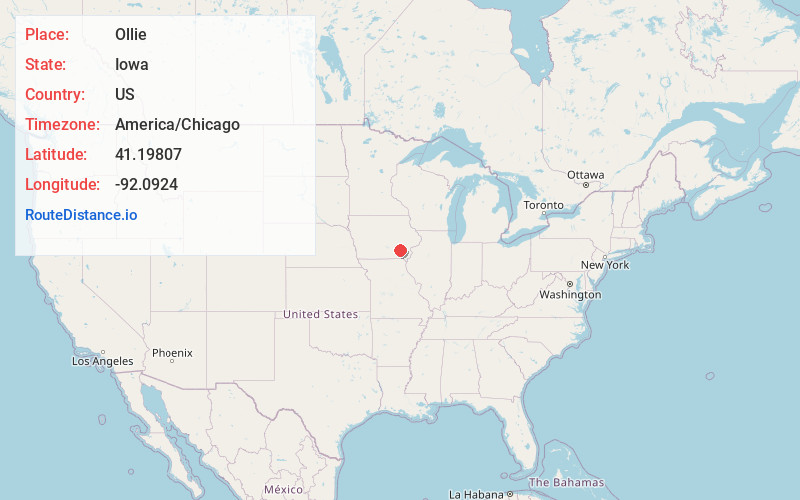
Location Information
-
Full AddressOllie, IA 52576
-
Coordinates41.19807, -92.0924001
-
LocationOllie , Iowa , US
-
TimezoneAmerica/Chicago
-
Current Local Time8:47:05 AM America/ChicagoFriday, June 6, 2025
-
Page Views0
About Ollie
Ollie is a city in Keokuk County, Iowa, United States. The population was 201 at the time of the 2020 census. Originally known as Hemingford, the town voted to change the name to Ollie in 1892.
Nearby Places
Found 10 places within 50 miles

Packwood
4.5 mi
7.2 km
Packwood, IA 52580
Get directions

Richland
5.2 mi
8.4 km
Richland, IA 52585
Get directions

Sigourney
11.0 mi
17.7 km
Sigourney, IA 52591
Get directions

Maharishi Vedic City
11.3 mi
18.2 km
Maharishi Vedic City, IA 52556
Get directions

Hedrick
11.4 mi
18.3 km
Hedrick, IA 52563
Get directions
Keota
13.5 mi
21.7 km
Keota, IA 52248
Get directions

Brighton
14.3 mi
23.0 km
Brighton, IA 52540
Get directions
Batavia
14.6 mi
23.5 km
Batavia, IA 52533
Get directions
Delta
15.1 mi
24.3 km
Delta, IA 52550
Get directions

Libertyville
16.8 mi
27.0 km
Libertyville, IA 52567
Get directions
Location Links
Local Weather
Weather Information
Coming soon!
Location Map
Static map view of Ollie, Iowa
Browse Places by Distance
Places within specific distances from Ollie
Short Distances
Long Distances
Click any distance to see all places within that range from Ollie. Distances shown in miles (1 mile ≈ 1.61 kilometers).