Distance to Olney, Missouri

Calculating Your Route
Just a moment while we process your request...
Location Information
-
Full AddressOlney, MO 63377
-
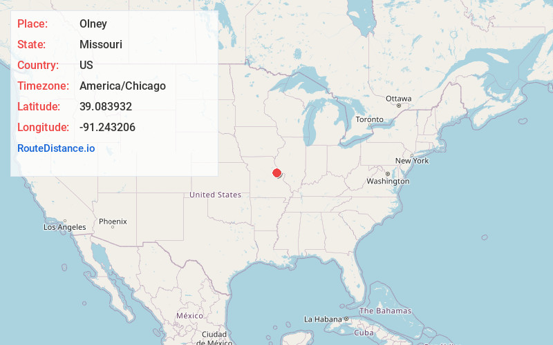
Coordinates39.0839315, -91.2432062
-
LocationOlney , Missouri , US
-
TimezoneAmerica/Chicago
-
Current Local Time12:26:10 PM America/ChicagoTuesday, June 24, 2025
-
Page Views0
About Olney
Olney is an unincorporated community in western Lincoln County, Missouri, United States. It is located on Missouri Supplemental Route O, approximately twelve miles northwest of Troy.
Nearby Places
Found 10 places within 50 miles

Stillhouse Ford
1.2 mi
1.9 km
Stillhouse Ford, Nineveh Township, MO 63377
Get directions
Corso
4.3 mi
6.9 km
Corso, MO 63377
Get directions
Marling
5.0 mi
8.0 km
Marling, MO 63359
Get directions
Gamma
5.4 mi
8.7 km
Gamma, MO 63333
Get directions
Truxton
5.7 mi
9.2 km
Truxton, MO 63381
Get directions
Bellflower
8.0 mi
12.9 km
Bellflower, MO 63333
Get directions
New Hartford
8.1 mi
13.0 km
New Hartford, MO 63359
Get directions
Middletown
9.6 mi
15.4 km
Middletown, MO 63359
Get directions
Hopkinsville
9.7 mi
15.6 km
Hopkinsville, Waverly Township, MO 63344
Get directions

Hawk Point
9.9 mi
15.9 km
Hawk Point, MO 63349
Get directions
Location Links
Local Weather
Weather Information
Coming soon!
Location Map
Static map view of Olney, Missouri
Browse Places by Distance
Places within specific distances from Olney
Short Distances
Long Distances
Click any distance to see all places within that range from Olney. Distances shown in miles (1 mile ≈ 1.61 kilometers).