Distance to Olustee, Florida

Calculating Your Route
Just a moment while we process your request...
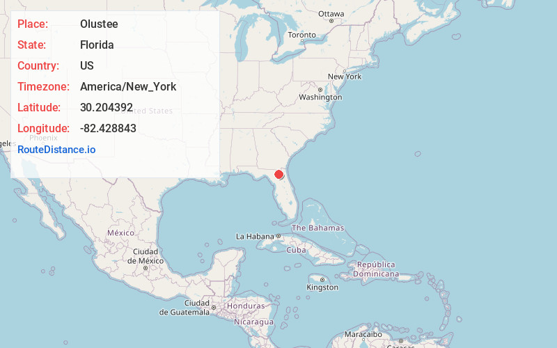
Location Information
-
Full AddressOlustee, FL 32087
-
Coordinates30.2043917, -82.4288428
-
LocationOlustee , Florida , US
-
TimezoneAmerica/New_York
-
Current Local Time3:52:12 PM America/New_YorkThursday, June 19, 2025
-
Page Views0
About Olustee
Olustee is an unincorporated area in Baker County, Florida, United States. The name "Olustee" is from the nearby Olustee Creek whose name derives from the Creek language ue-lvste meaning "black water".
Nearby Places
Found 10 places within 50 miles

Mt Carrie
4.5 mi
7.2 km
Mt Carrie, FL 32055
Get directions
Watertown
11.1 mi
17.9 km
Watertown, FL
Get directions
Five Points
12.5 mi
20.1 km
Five Points, FL 32055
Get directions

Lake City
12.6 mi
20.3 km
Lake City, FL
Get directions

Lake Butler
13.6 mi
21.9 km
Lake Butler, FL 32054
Get directions
Ellerbee
15.0 mi
24.1 km
Ellerbee, FL 32083
Get directions

Raiford
15.0 mi
24.1 km
Raiford, FL 32083
Get directions
Manning
15.3 mi
24.6 km
Manning, FL 32040
Get directions


Leaflet © OpenStreetMap contributors
Location Links
Local Weather
Weather Information
Coming soon!
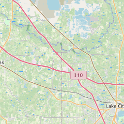
Location Map
Static map view of Olustee, Florida
Browse Places by Distance
Places within specific distances from Olustee
Short Distances
Long Distances
Click any distance to see all places within that range from Olustee. Distances shown in miles (1 mile ≈ 1.61 kilometers).