Distance to Olyphant, Arkansas

Calculating Your Route
Just a moment while we process your request...
Location Information
-
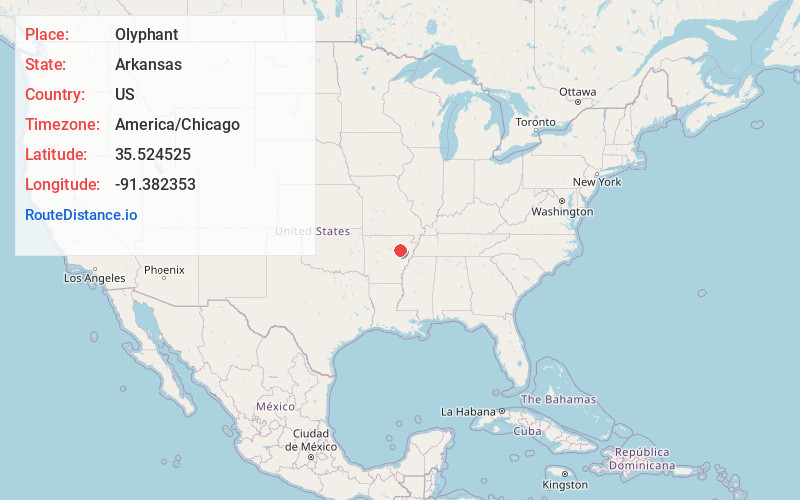
Full AddressOlyphant, AR 72020
-
Coordinates35.5245251, -91.3823526
-
LocationArkansas , US
-
TimezoneAmerica/Chicago
-
Current Local Time5:17:33 PM America/ChicagoMonday, June 2, 2025
-
Page Views0

Nearby Places
Found 10 places within 50 miles

Bradford
8.1 mi
13.0 km
Bradford, AR 72020
Get directions

Oil Trough
8.5 mi
13.7 km
Oil Trough, AR 72564
Get directions

Newport
8.7 mi
14.0 km
Newport, AR 72112
Get directions

Jacksonport
9.1 mi
14.6 km
Jacksonport, AR 72112
Get directions

Weldon
10.1 mi
16.3 km
Weldon, AR 72112
Get directions
Diaz
10.3 mi
16.6 km
Diaz, AR 72112
Get directions
Campbell Station
12.2 mi
19.6 km
Campbell Station, AR
Get directions
Tupelo
12.5 mi
20.1 km
Tupelo, AR
Get directions
Newark
12.8 mi
20.6 km
Newark, AR 72562
Get directions

Russell
13.2 mi
21.2 km
Russell, AR 72010
Get directions
Location Links
Local Weather
Weather Information
Coming soon!
Location Map
Static map view of Olyphant, Arkansas
Browse Places by Distance
Places within specific distances from Olyphant
Short Distances
Long Distances
Click any distance to see all places within that range from Olyphant. Distances shown in miles (1 mile ≈ 1.61 kilometers).