Distance to Omaha, Arkansas

Calculating Your Route
Just a moment while we process your request...
Location Information
-
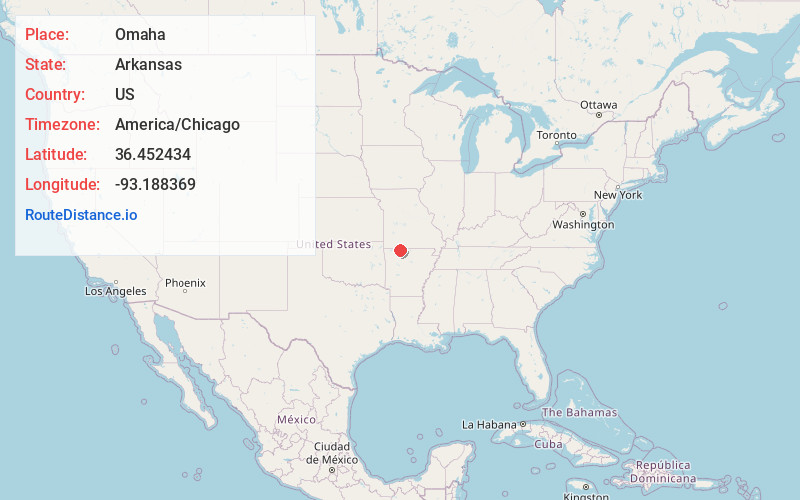
Full AddressOmaha, AR 72662
-
Coordinates36.4524342, -93.1883687
-
LocationOmaha , Arkansas , US
-
TimezoneAmerica/Chicago
-
Current Local Time1:31:53 PM America/ChicagoFriday, June 20, 2025
-
Page Views0
About Omaha
Omaha is a town in Boone County, Arkansas, United States. As of the 2020 census the population stood at 128. It is a rural community located approximately 10 miles from Branson, Missouri and 15 miles from Harrison. The town is part of the Harrison Micropolitan Statistical Area.

Nearby Places
Found 10 places within 50 miles

Hollister
11.8 mi
19.0 km
Hollister, MO 65672
Get directions

Blue Eye
12.1 mi
19.5 km
Blue Eye, MO 65611
Get directions

Alpena
12.5 mi
20.1 km
Alpena, AR 72611
Get directions

Branson
13.3 mi
21.4 km
Branson, MO 65616
Get directions

Bergman
13.6 mi
21.9 km
Bergman, AR
Get directions

Oak Grove
13.8 mi
22.2 km
Oak Grove, AR
Get directions
Batavia
13.8 mi
22.2 km
Batavia, AR 72601
Get directions

Indian Point
14.9 mi
24.0 km
Indian Point, MO
Get directions

Diamond City
14.9 mi
24.0 km
Diamond City, AR 72644
Get directions

Lead Hill
15.4 mi
24.8 km
Lead Hill, AR 72644
Get directions
Location Links
Local Weather
Weather Information
Coming soon!
Location Map
Static map view of Omaha, Arkansas
Browse Places by Distance
Places within specific distances from Omaha
Short Distances
Long Distances
Click any distance to see all places within that range from Omaha. Distances shown in miles (1 mile ≈ 1.61 kilometers).