Distance to Ophelia, Virginia

Calculating Your Route
Just a moment while we process your request...
Location Information
-
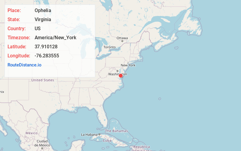
Full AddressOphelia, VA 22473
-
Coordinates37.9101284, -76.2835554
-
LocationOphelia , Virginia , US
-
TimezoneAmerica/New_York
-
Current Local Time6:15:18 AM America/New_YorkWednesday, June 18, 2025
-
Page Views0
About Ophelia
Ophelia is an unincorporated community in Northumberland County, in the U.S. state of Virginia.
Nearby Places
Found 10 places within 50 miles

Surprise Hill
3.2 mi
5.1 km
Surprise Hill, VA 22539
Get directions
Burgess
4.0 mi
6.4 km
Burgess, VA 22432
Get directions
Edwardsville
4.5 mi
7.2 km
Edwardsville, VA 22473
Get directions
Mila
5.3 mi
8.5 km
Mila, VA 22473
Get directions

Wicomico Church
8.4 mi
13.5 km
Wicomico Church, VA 22473
Get directions
Crabbe Mill
9.2 mi
14.8 km
Crabbe Mill, VA 22473
Get directions

Heathsville
10.3 mi
16.6 km
Heathsville, VA 22473
Get directions
Regina
10.3 mi
16.6 km
Regina, VA 22473
Get directions
Cowart
11.8 mi
19.0 km
Cowart, VA 22511
Get directions

Scotland
13.1 mi
21.1 km
Scotland, MD 20687
Get directions
Location Links
Local Weather
Weather Information
Coming soon!
Location Map
Static map view of Ophelia, Virginia
Browse Places by Distance
Places within specific distances from Ophelia
Short Distances
Long Distances
Click any distance to see all places within that range from Ophelia. Distances shown in miles (1 mile ≈ 1.61 kilometers).