Distance to and from Orangeburg, South Carolina
Orangeburg, SC
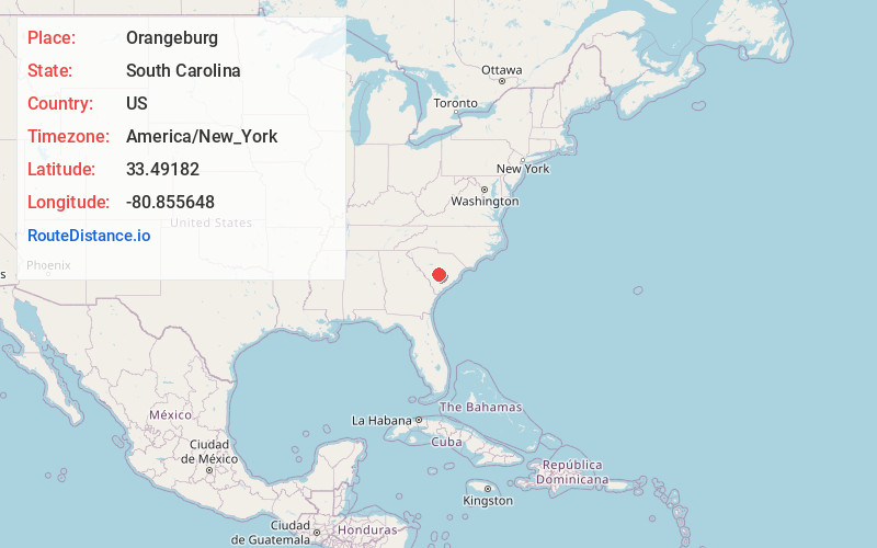
Orangeburg
South Carolina
US
America/New_York
Location Information
-
Full AddressOrangeburg, SC
-
Coordinates33.4918203, -80.8556476
-
LocationOrangeburg , South Carolina , US
-
TimezoneAmerica/New_York
-
Current Local Time3:51:58 PM America/New_YorkSaturday, May 3, 2025
-
Website
-
Page Views0
Directions to Nearest Cities
About Orangeburg
Orangeburg, also known as The Burg, is the principal city in and the county seat of Orangeburg County, South Carolina, United States. The population of the city was 13,964 according to the 2020 census. The city is located 37 miles southeast of Columbia, on the north fork of the Edisto River.


Nearby Places
Found 9 places within 50 miles

Cayce
35.1 mi
56.5 km
Cayce, SC
Get directions

Columbia
36.7 mi
59.1 km
Columbia, SC
Get directions

West Columbia
36.9 mi
59.4 km
West Columbia, SC
Get directions

Dentsville
40.0 mi
64.4 km
Dentsville, SC
Get directions

Lexington
40.3 mi
64.9 km
Lexington, SC
Get directions

St Andrews
40.7 mi
65.5 km
St Andrews, SC
Get directions

Sumter
41.8 mi
67.3 km
Sumter, SC
Get directions

Seven Oaks
42.0 mi
67.6 km
Seven Oaks, SC
Get directions

Aiken
50.0 mi
80.5 km
Aiken, SC
Get directions
Cayce
35.1 mi
56.5 km
Cayce, SC
Columbia
36.7 mi
59.1 km
Columbia, SC
West Columbia
36.9 mi
59.4 km
West Columbia, SC
Dentsville
40.0 mi
64.4 km
Dentsville, SC
Lexington
40.3 mi
64.9 km
Lexington, SC
St Andrews
40.7 mi
65.5 km
St Andrews, SC
Sumter
41.8 mi
67.3 km
Sumter, SC
Seven Oaks
42.0 mi
67.6 km
Seven Oaks, SC
Aiken
50.0 mi
80.5 km
Aiken, SC
Location Links
Local Weather
Weather Information
Coming soon!
Location Map
Static map view of Orangeburg, South Carolina
Browse Places by Distance
Places within specific distances from Orangeburg
Short Distances
Long Distances
Click any distance to see all places within that range from Orangeburg. Distances shown in miles (1 mile ≈ 1.61 kilometers).