Distance to Orella, Nebraska

Calculating Your Route
Just a moment while we process your request...
Location Information
-
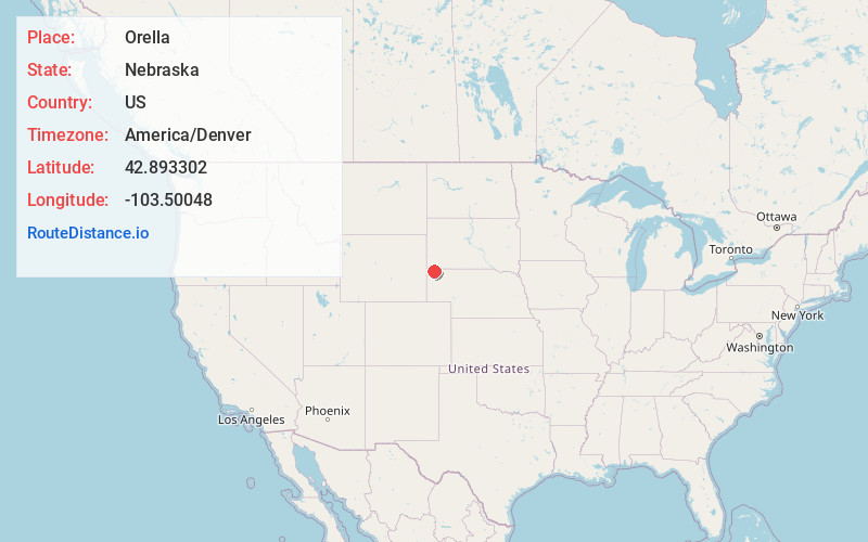
Full AddressOrella, Precinct 11, NE 69367
-
Coordinates42.8933024, -103.5004797
-
LocationPrecinct 11 , Nebraska , US
-
TimezoneAmerica/Denver
-
Current Local Time2:29:04 AM America/DenverSunday, June 22, 2025
-
Page Views0
About Orella
Orella was formerly a town in Sioux County, Nebraska, United States, along the BNSF Railway Butte Subdivision. It was settled by immigrants in the mid-1880s and established as a town by the railroad in 1906. Orella was last inhabited in the 1960s, and its former site is now private property.


Nearby Places
Found 10 places within 50 miles

Joder
3.5 mi
5.6 km
Joder, Bowen Precinct, NE 69346
Get directions

Ardmore
11.7 mi
18.8 km
Ardmore, SD
Get directions
Five Points
12.4 mi
20.0 km
Five Points, Bowen Precinct, NE 69346
Get directions

Whitney
14.6 mi
23.5 km
Whitney, NE 69367
Get directions

Crawford
15.3 mi
24.6 km
Crawford, NE 69339
Get directions
Rumford
19.0 mi
30.6 km
Rumford, Southwest Fall River, SD 57735
Get directions
Andrews
21.6 mi
34.8 km
Andrews, NE 69346
Get directions
Story
22.3 mi
35.9 km
Story, Bowen Precinct, NE 69346
Get directions

Oelrichs
24.0 mi
38.6 km
Oelrichs, SD 57763
Get directions

Harrison
24.1 mi
38.8 km
Harrison, NE 69346
Get directions
Location Links
Local Weather
Weather Information
Coming soon!
Location Map
Static map view of Orella, Nebraska
Browse Places by Distance
Places within specific distances from Orella
Short Distances
Long Distances
Click any distance to see all places within that range from Orella. Distances shown in miles (1 mile ≈ 1.61 kilometers).