Distance to Oreton, Ohio

Calculating Your Route
Just a moment while we process your request...
Location Information
-
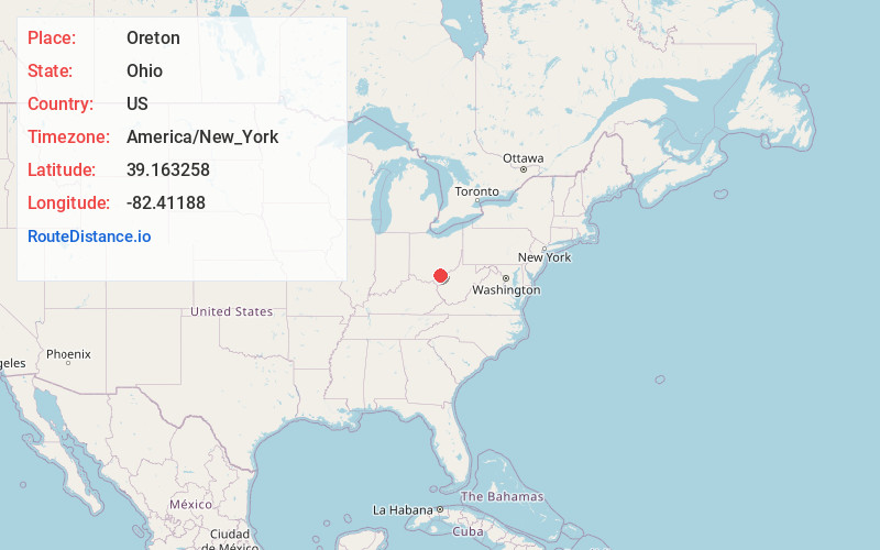
Full AddressOreton, OH 45634
-
Coordinates39.163258, -82.41188
-
LocationOreton , Ohio , US
-
TimezoneAmerica/New_York
-
Current Local Time1:48:29 AM America/New_YorkSunday, June 1, 2025
-
Page Views0
About Oreton
Oreton is a ghost town in eastern Vinton Township, Vinton County, Ohio, United States, located along State Route 160. Oreton was a small mining community. Today, all that remains are the crumbled ruins of the iron furnace, a few concrete foundations, and the brick safe of Dave Ebert's company store.
Nearby Places
Found 10 places within 50 miles

Radcliff
2.4 mi
3.9 km
Radcliff, OH 45695
Get directions

Hawks
3.8 mi
6.1 km
Hawks, Wilkesville Township, OH 45686
Get directions
Arbaugh
4.0 mi
6.4 km
Arbaugh, OH 45695
Get directions
Puritan
4.0 mi
6.4 km
Puritan, OH 45634
Get directions

Dundas
4.6 mi
7.4 km
Dundas, OH 45634
Get directions
Clarion
5.2 mi
8.4 km
Clarion, Wilkesville Township, OH 45686
Get directions
Vales Mills
5.3 mi
8.5 km
Vales Mills, Vinton Township, OH 45695
Get directions
Prattsville
5.3 mi
8.5 km
Prattsville, OH 45710
Get directions

Hamden
6.2 mi
10.0 km
Hamden, OH 45634
Get directions
Red Diamond
6.3 mi
10.1 km
Red Diamond, Elk Township, OH 45651
Get directions
Location Links
Local Weather
Weather Information
Coming soon!
Location Map
Static map view of Oreton, Ohio
Browse Places by Distance
Places within specific distances from Oreton
Short Distances
Long Distances
Click any distance to see all places within that range from Oreton. Distances shown in miles (1 mile ≈ 1.61 kilometers).