Distance to Orfordville, Wisconsin

Calculating Your Route
Just a moment while we process your request...
Location Information
-
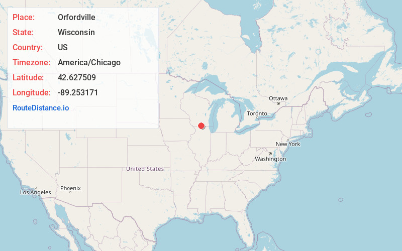
Full AddressOrfordville, WI 53576
-
Coordinates42.6275093, -89.2531707
-
LocationOrfordville , Wisconsin , US
-
TimezoneAmerica/Chicago
-
Current Local Time1:10:06 AM America/ChicagoThursday, June 19, 2025
-
Website
-
Page Views0
About Orfordville
Orfordville is a village in Rock County, Wisconsin, United States. It is located at the intersection of Highway 11, Highway 213, and the Wisconsin and Southern Railroad. The population was 1,473 at the 2020 census.


Nearby Places
Found 10 places within 50 miles

Brodhead
6.3 mi
10.1 km
Brodhead, WI 53520
Get directions

Evansville
10.8 mi
17.4 km
Evansville, WI 53536
Get directions

Janesville
12.1 mi
19.5 km
Janesville, WI
Get directions

Lake Summerset
13.8 mi
22.2 km
Lake Summerset, IL 61019
Get directions

Beloit
14.0 mi
22.5 km
Beloit, WI 53511
Get directions

South Beloit
14.4 mi
23.2 km
South Beloit, IL
Get directions

Rockton
15.2 mi
24.5 km
Rockton, IL
Get directions

Edgerton
17.2 mi
27.7 km
Edgerton, WI 53534
Get directions

Milton
18.7 mi
30.1 km
Milton, WI 53563
Get directions

Roscoe
19.3 mi
31.1 km
Roscoe, IL
Get directions
Location Links
Local Weather
Weather Information
Coming soon!
Location Map
Static map view of Orfordville, Wisconsin
Browse Places by Distance
Places within specific distances from Orfordville
Short Distances
Long Distances
Click any distance to see all places within that range from Orfordville. Distances shown in miles (1 mile ≈ 1.61 kilometers).