Distance to Oroville, Washington

Calculating Your Route
Just a moment while we process your request...
Location Information
-
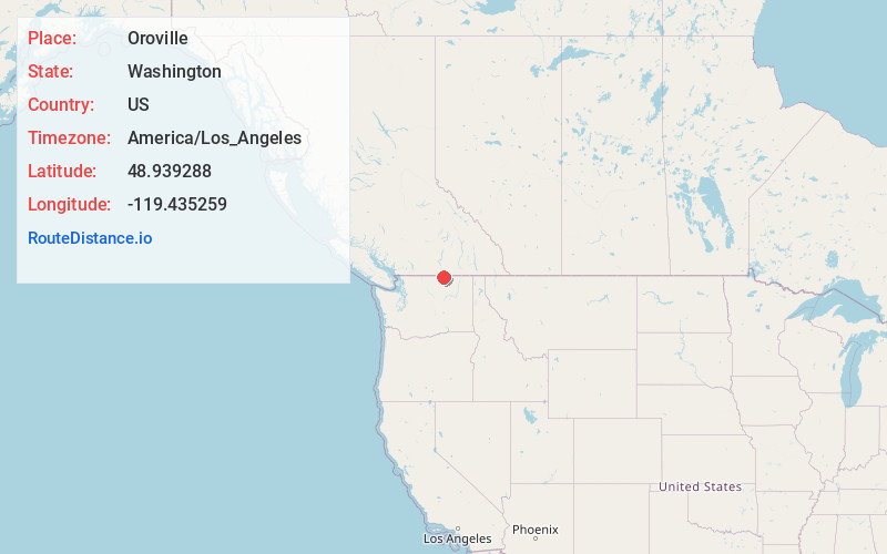
Full AddressOroville, WA 98844
-
Coordinates48.9392876, -119.4352588
-
LocationOroville , Washington , US
-
TimezoneAmerica/Los_Angeles
-
Current Local Time5:45:43 AM America/Los_AngelesSunday, June 22, 2025
-
Page Views0
About Oroville
Oroville is a city located in the northern bulk of the Okanogan Highlands in north-central Washington, United States. Oroville is a member municipality of Okanogan County, Washington situated between Omak and Penticton. The population was 1,795 at the 2020 census.


Nearby Places
Found 2 places within 50 miles


Location Links
Local Weather
Weather Information
Coming soon!
Location Map
Static map view of Oroville, Washington
Browse Places by Distance
Places within specific distances from Oroville
Short Distances
Long Distances
Click any distance to see all places within that range from Oroville. Distances shown in miles (1 mile ≈ 1.61 kilometers).