Distance to Oroville, California

Calculating Your Route
Just a moment while we process your request...
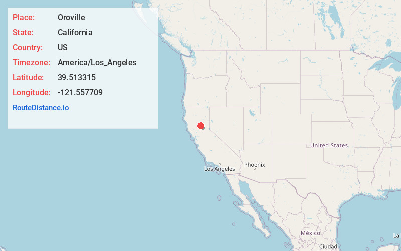
Location Information
-
Full AddressOroville, CA
-
Coordinates39.5133153, -121.5577086
-
LocationOroville , California , US
-
TimezoneAmerica/Los_Angeles
-
Current Local Time8:52:25 AM America/Los_AngelesMonday, June 23, 2025
-
Website
-
Page Views0
About Oroville
Oroville is the county seat of Butte County, California, United States. Its population was 15,506 at the 2010 census, up from 13,004 in the 2000 census. After the 2018 Camp Fire that destroyed much of the town of Paradise, Oroville's population increased as many people who lost their homes moved there.


Location Links
Local Weather
Weather Information
Coming soon!
Location Map
Static map view of Oroville, California
Browse Places by Distance
Places within specific distances from Oroville
Short Distances
Long Distances
Click any distance to see all places within that range from Oroville. Distances shown in miles (1 mile ≈ 1.61 kilometers).