Distance to Osbornville, North Carolina

Calculating Your Route
Just a moment while we process your request...
Location Information
-
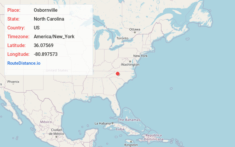
Full AddressOsbornville, NC 27020
-
Coordinates36.0756895, -80.8975728
-
LocationOsbornville , North Carolina , US
-
TimezoneAmerica/New_York
-
Current Local Time3:33:05 AM America/New_YorkSunday, June 1, 2025
-
Page Views0
Nearby Places
Found 10 places within 50 miles

Somers Crossroads
0.5 mi
0.8 km
Somers Crossroads, NC 27020
Get directions
Jennings
4.5 mi
7.2 km
Jennings, NC 28689
Get directions
Cycle
5.1 mi
8.2 km
Cycle, NC 27020
Get directions
Marler
5.6 mi
9.0 km
Marler, NC 27020
Get directions

Windy Gap
5.9 mi
9.5 km
Windy Gap, NC 27020
Get directions
Brooks Crossroads
7.6 mi
12.2 km
Brooks Crossroads, NC 27020
Get directions

Love Valley
8.0 mi
12.9 km
Love Valley, NC 28625
Get directions
Grays Creek
8.6 mi
13.8 km
Grays Creek, North Carolina
Get directions

Ronda
10.2 mi
16.4 km
Ronda, NC 28670
Get directions
Gilreath
10.3 mi
16.6 km
Gilreath, NC 28654
Get directions
Location Links
Local Weather
Weather Information
Coming soon!
Location Map
Static map view of Osbornville, North Carolina
Browse Places by Distance
Places within specific distances from Osbornville
Short Distances
Long Distances
Click any distance to see all places within that range from Osbornville. Distances shown in miles (1 mile ≈ 1.61 kilometers).