Distance to Osceola County, Michigan

Calculating Your Route
Just a moment while we process your request...
Location Information
-
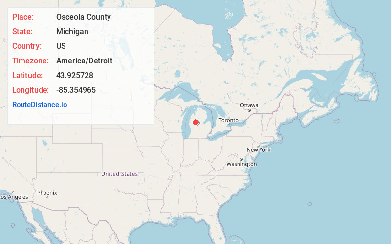
Full AddressOsceola County, MI
-
Coordinates43.9257279, -85.354965
-
LocationMichigan , US
-
TimezoneAmerica/Detroit
-
Current Local Time10:27:01 PM America/DetroitSunday, June 15, 2025
-
Page Views0
About Osceola County
Osceola County is a county in the U.S. state of Michigan. As of the 2020 United States census, the population was 22,891. The county seat is Reed City.


Nearby Places
Found 10 places within 50 miles

Evart
5.1 mi
8.2 km
Evart, MI 49631
Get directions

Hersey
6.9 mi
11.1 km
Hersey, MI 49639
Get directions

Reed City
8.5 mi
13.7 km
Reed City, MI 49677
Get directions

Sears
8.7 mi
14.0 km
Sears, MI 49679
Get directions

Le Roy
9.2 mi
14.8 km
Le Roy, MI 49655
Get directions
Dighton
11.2 mi
18.0 km
Dighton, Sherman Township, MI 49655
Get directions
Olivers
11.7 mi
18.8 km
Olivers, Chase Township, MI 49623
Get directions

Paris
12.8 mi
20.6 km
Paris, MI 49338
Get directions

Chippewa Lake
12.9 mi
20.8 km
Chippewa Lake, MI 49342
Get directions

Tustin
13.3 mi
21.4 km
Tustin, MI 49688
Get directions
Location Links
Local Weather
Weather Information
Coming soon!
Location Map
Static map view of Osceola County, Michigan
Browse Places by Distance
Places within specific distances from Osceola County
Short Distances
Long Distances
Click any distance to see all places within that range from Osceola County. Distances shown in miles (1 mile ≈ 1.61 kilometers).