Distance to Osgood, Kansas

Calculating Your Route
Just a moment while we process your request...
Location Information
-
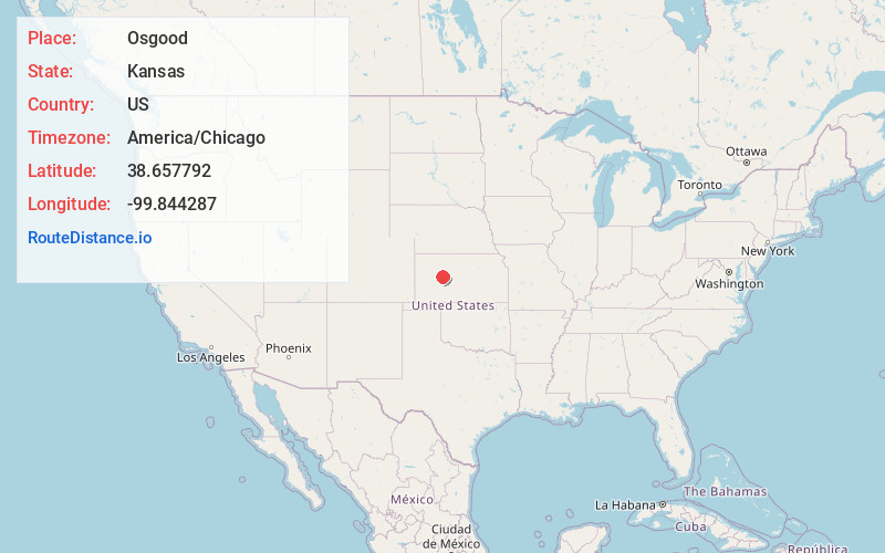
Full AddressOsgood, Nevada Township, KS 67572
-
Coordinates38.6577918, -99.8442872
-
LocationNevada Township , Kansas , US
-
TimezoneAmerica/Chicago
-
Current Local Time4:18:33 PM America/ChicagoWednesday, June 18, 2025
-
Page Views0
Nearby Places
Found 10 places within 50 miles

Ransom
5.1 mi
8.2 km
Ransom, KS 67572
Get directions

Brownell
5.4 mi
8.7 km
Brownell, KS 67521
Get directions

Ness City
14.6 mi
23.5 km
Ness City, KS 67560
Get directions

McCracken
15.7 mi
25.3 km
McCracken, KS 67556
Get directions

Bazine
16.9 mi
27.2 km
Bazine, KS 67516
Get directions

Utica
17.6 mi
28.3 km
Utica, KS 67584
Get directions
Alanthus
17.7 mi
28.5 km
Alanthus, KS 67584
Get directions

Alexander
20.4 mi
32.8 km
Alexander, KS 67513
Get directions
Hargrave
22.7 mi
36.5 km
Hargrave, La Crosse-Brookdale Township, KS 67556
Get directions
Riga
22.8 mi
36.7 km
Riga, Glencoe Township, KS 67637
Get directions
Location Links
Local Weather
Weather Information
Coming soon!
Location Map
Static map view of Osgood, Kansas
Browse Places by Distance
Places within specific distances from Osgood
Short Distances
Long Distances
Click any distance to see all places within that range from Osgood. Distances shown in miles (1 mile ≈ 1.61 kilometers).