Distance to Oshawa, Ontario

Calculating Your Route
Just a moment while we process your request...
Location Information
-
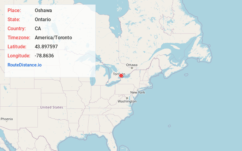
Full AddressOshawa, ON, Canada
-
Coordinates43.897597, -78.8636
-
LocationOshawa , Ontario , CA
-
TimezoneAmerica/Toronto
-
Current Local Time1:01:34 AM America/TorontoWednesday, May 28, 2025
-
Website
-
Page Views0
About Oshawa
Oshawa is a city in Ontario, Canada, on the Lake Ontario shoreline. It lies in Southern Ontario, approximately 60 km east of downtown Toronto. It is commonly viewed as the eastern anchor of the Greater Toronto Area and of the Golden Horseshoe. It is the largest municipality in the Regional Municipality of Durham.


Nearby Places
Found 10 places within 50 miles

Ajax
8.5 mi
13.7 km
Ajax, ON, Canada
Get directions

Pickering
11.9 mi
19.2 km
Pickering, ON, Canada
Get directions

Markham
23.6 mi
38.0 km
Markham, ON, Canada
Get directions

Toronto
30.9 mi
49.7 km
Toronto, ON, Canada
Get directions

Newmarket
31.7 mi
51.0 km
Newmarket, ON, Canada
Get directions

Peterborough
39.0 mi
62.8 km
Peterborough, ON, Canada
Get directions

Olcott
39.4 mi
63.4 km
Olcott, NY
Get directions

Wilson
40.7 mi
65.5 km
Wilson, NY 14172
Get directions

Appleton
40.8 mi
65.7 km
Appleton, NY 14008
Get directions

Coolidge Beach
40.9 mi
65.8 km
Coolidge Beach, Wilson, NY 14172
Get directions
Location Links
Local Weather
Weather Information
Coming soon!
Location Map
Static map view of Oshawa, Ontario
Browse Places by Distance
Places within specific distances from Oshawa
Short Distances
Long Distances
Click any distance to see all places within that range from Oshawa. Distances shown in miles (1 mile ≈ 1.61 kilometers).