Distance to Ossahatchie Creek, Georgia

Calculating Your Route
Just a moment while we process your request...
Location Information
-
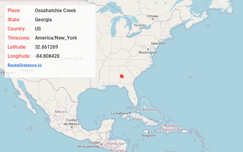
Full AddressOssahatchie Creek, Georgia
-
Coordinates32.6612688, -84.8084281
-
LocationGeorgia , US
-
TimezoneAmerica/New_York
-
Current Local Time12:05:03 PM America/New_YorkThursday, June 19, 2025
-
Page Views0
Nearby Places
Found 10 places within 50 miles

Ellerslie
2.1 mi
3.4 km
Ellerslie, GA 31807
Get directions
Turntime Crossroads
2.3 mi
3.7 km
Turntime Crossroads, GA 31831
Get directions

Cataula
3.5 mi
5.6 km
Cataula, GA 31804
Get directions

Waverly Hall
4.4 mi
7.1 km
Waverly Hall, GA 31831
Get directions
Rehobeth
4.6 mi
7.4 km
Rehobeth, GA 31804
Get directions
Ridgeway
5.4 mi
8.7 km
Ridgeway, GA 31831
Get directions
Oak Mountain
7.4 mi
11.9 km
Oak Mountain, GA 31826
Get directions

Hamilton
7.7 mi
12.4 km
Hamilton, GA 31811
Get directions
Flat Rock
8.4 mi
13.5 km
Flat Rock, Columbus, GA 31820
Get directions
Mulberry Grove
8.7 mi
14.0 km
Mulberry Grove, GA 31808
Get directions
Location Links
Local Weather
Weather Information
Coming soon!
Location Map
Static map view of Ossahatchie Creek, Georgia
Browse Places by Distance
Places within specific distances from Ossahatchie Creek
Short Distances
Long Distances
Click any distance to see all places within that range from Ossahatchie Creek. Distances shown in miles (1 mile ≈ 1.61 kilometers).