Distance to Oswegatchie, New York

Calculating Your Route
Just a moment while we process your request...
Location Information
-
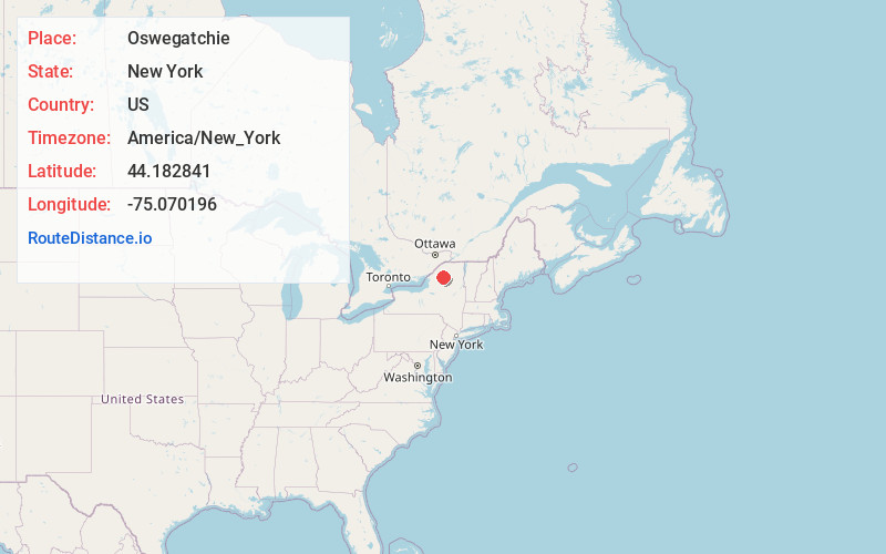
Full AddressOswegatchie, NY 13670
-
Coordinates44.1828405, -75.070196
-
LocationOswegatchie , New York , US
-
TimezoneAmerica/New_York
-
Current Local Time12:45:50 AM America/New_YorkThursday, June 19, 2025
-
Page Views0
About Oswegatchie
Oswegatchie is a town in St. Lawrence County, New York, United States. The population was 4,397 at the 2010 census. The name reportedly means "Black Water". It is on the northern border of the county and is adjacent to the city of Ogdensburg.


Nearby Places
Found 10 places within 50 miles

Gouverneur
22.2 mi
35.7 km
Gouverneur, NY 13642
Get directions

Tupper Lake
30.2 mi
48.6 km
Tupper Lake, NY 12986
Get directions

Potsdam
33.9 mi
54.6 km
Potsdam, NY 13676
Get directions

Lowville
34.5 mi
55.5 km
Lowville, NY 13367
Get directions

Fort Drum
37.2 mi
59.9 km
Fort Drum, NY
Get directions

Ogdensburg
40.9 mi
65.8 km
Ogdensburg, NY 13669
Get directions

Norfolk
42.9 mi
69.0 km
Norfolk, NY
Get directions

Watertown
44.1 mi
71.0 km
Watertown, NY 13601
Get directions
Dickinson Center
44.9 mi
72.3 km
Dickinson Center, NY 12930
Get directions
Brownville
47.0 mi
75.6 km
Brownville, NY
Get directions
Location Links
Local Weather
Weather Information
Coming soon!
Location Map
Static map view of Oswegatchie, New York
Browse Places by Distance
Places within specific distances from Oswegatchie
Short Distances
Long Distances
Click any distance to see all places within that range from Oswegatchie. Distances shown in miles (1 mile ≈ 1.61 kilometers).