Distance to Otsego Lake Township, Michigan

Calculating Your Route
Just a moment while we process your request...
Location Information
-
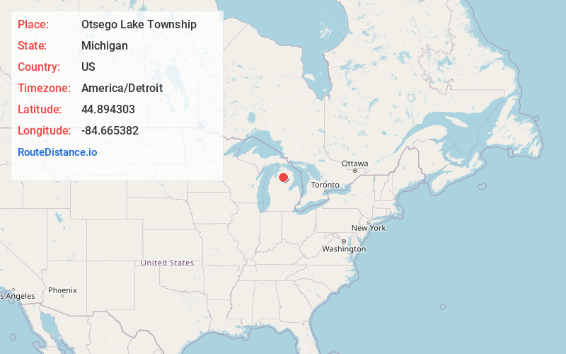
Full AddressOtsego Lake Township, MI
-
Coordinates44.8943031, -84.6653822
-
LocationOtsego Lake Township , Michigan , US
-
TimezoneAmerica/Detroit
-
Current Local Time12:44:42 PM America/DetroitTuesday, June 3, 2025
-
Page Views0
About Otsego Lake Township
Otsego Lake Township is a civil township of Otsego County in the U.S. state of Michigan. The population was 2,857 at the 2020 census.
The township takes its name from Otsego Lake, in which the southern half is within the township. Otsego Lake State Park is located in the township on the southeast shore of the lake.

Nearby Places
Found 10 places within 50 miles
Waters
1.9 mi
3.1 km
Waters, MI 49735
Get directions

Otsego Lake
2.1 mi
3.4 km
Otsego Lake, MI 49735
Get directions
Arbutus Beach
3.7 mi
6.0 km
Arbutus Beach, MI 49735
Get directions
Eyedylwild Beach
5.0 mi
8.0 km
Eyedylwild Beach, MI 49735
Get directions
Bagley Township
5.2 mi
8.4 km
Bagley Township, MI 49735
Get directions
Pearll City
6.1 mi
9.8 km
Pearll City, MI 49735
Get directions
Deward
8.7 mi
14.0 km
Deward, Frederic Township, MI 49733
Get directions

Gaylord
9.2 mi
14.8 km
Gaylord, MI 49735
Get directions

Frederic Township
9.7 mi
15.6 km
Frederic Township, MI
Get directions
Ishaward
10.2 mi
16.4 km
Ishaward, Frederic Township, MI 49733
Get directions
Location Links
Local Weather
Weather Information
Coming soon!
Location Map
Static map view of Otsego Lake Township, Michigan
Browse Places by Distance
Places within specific distances from Otsego Lake Township
Short Distances
Long Distances
Click any distance to see all places within that range from Otsego Lake Township. Distances shown in miles (1 mile ≈ 1.61 kilometers).