Distance to Ottawa, Ontario

Calculating Your Route
Just a moment while we process your request...
Location Information
-
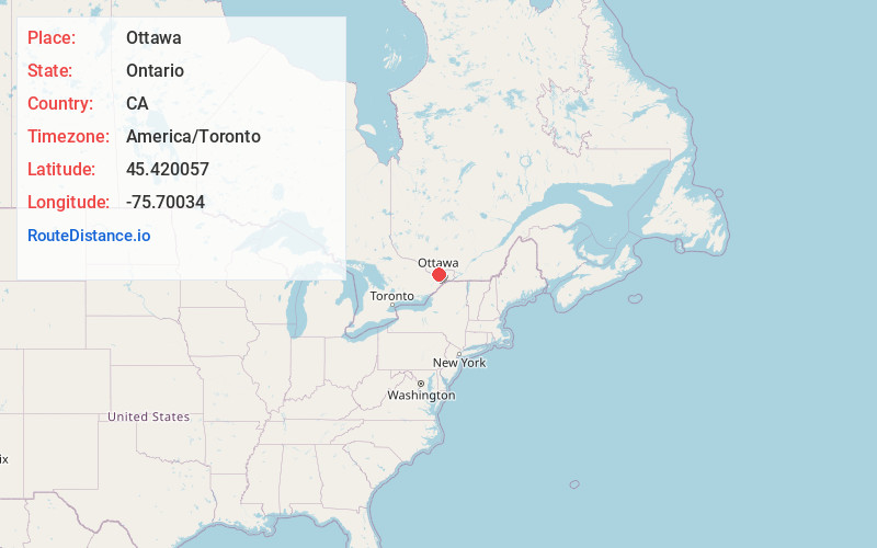
Full AddressOttawa, ON, Canada
-
Coordinates45.4200572, -75.7003397
-
LocationOttawa , Ontario , CA
-
TimezoneAmerica/Toronto
-
Current Local Time10:04:15 PM America/TorontoSaturday, June 21, 2025
-
Website
-
Page Views0
About Ottawa
Ottawa is Canada’s capital, in the east of southern Ontario, near the city of Montréal and the U.S. border. Sitting on the Ottawa River, it has at its centre Parliament Hill, with grand Victorian architecture and museums such as the National Gallery of Canada, with noted collections of indigenous and other Canadian art. The park-lined Rideau Canal is filled with boats in summer and ice-skaters in winter.


Nearby Places
Found 7 places within 50 miles

Waddington
45.4 mi
73.1 km
Waddington, NY 13694
Get directions
Drews Corner
47.5 mi
76.4 km
Drews Corner, NY 13694
Get directions
Tucker Terrace
48.1 mi
77.4 km
Tucker Terrace, NY 13662
Get directions
Red Mills
48.2 mi
77.6 km
Red Mills, NY 13669
Get directions
Dalton Crossing
48.2 mi
77.6 km
Dalton Crossing, NY 13694
Get directions

Louisville
49.2 mi
79.2 km
Louisville, NY 13662
Get directions
Chase Mills
49.7 mi
80.0 km
Chase Mills, NY 13621
Get directions
Location Links
Local Weather
Weather Information
Coming soon!
Location Map
Static map view of Ottawa, Ontario
Browse Places by Distance
Places within specific distances from Ottawa
Short Distances
Long Distances
Click any distance to see all places within that range from Ottawa. Distances shown in miles (1 mile ≈ 1.61 kilometers).