Distance to Ottawa, West Virginia

Calculating Your Route
Just a moment while we process your request...
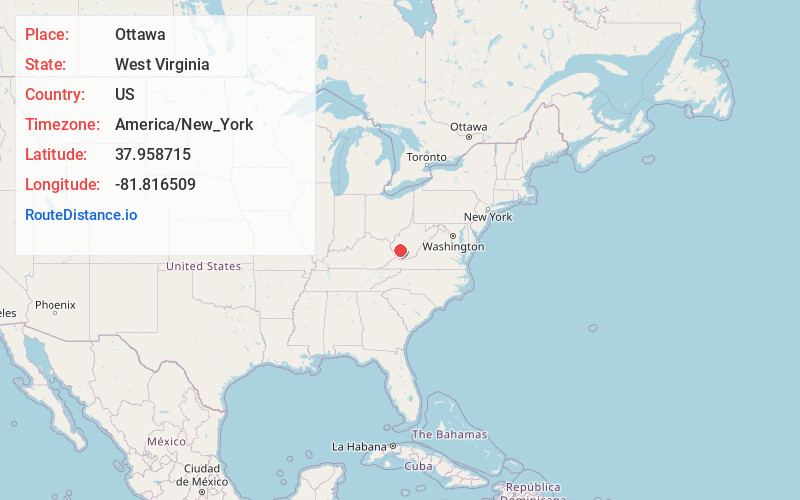
Location Information
-
Full AddressOttawa, WV 25149
-
Coordinates37.9587146, -81.8165094
-
LocationOttawa , West Virginia , US
-
TimezoneAmerica/New_York
-
Current Local Time4:55:24 PM America/New_YorkFriday, May 30, 2025
-
Page Views0
About Ottawa
Ottawa is an unincorporated community and coal town in Boone County, West Virginia, United States. Ottawa is located on West Virginia Route 17, 7 miles south of Madison. Ottawa has a post office with ZIP code 25149.
The community was named after the Ottawa Indians.
Nearby Places
Found 10 places within 50 miles

Clothier
0.9 mi
1.4 km
Clothier, WV 25047
Get directions
Jeffrey
0.9 mi
1.4 km
Jeffrey, WV 25053
Get directions
Coal Valley
1.2 mi
1.9 km
Coal Valley, WV 25183
Get directions
Mifflin
1.2 mi
1.9 km
Mifflin, WV 25183
Get directions
Secoal
1.5 mi
2.4 km
Secoal, WV 25053
Get directions
Dobra
1.7 mi
2.7 km
Dobra, WV 25183
Get directions
Ramage
1.8 mi
2.9 km
Ramage, WV 25053
Get directions
Hewett
2.0 mi
3.2 km
Hewett, WV 25108
Get directions
Greenview
2.6 mi
4.2 km
Greenview, WV
Get directions
Sharples
2.7 mi
4.3 km
Sharples, WV 25183
Get directions
Location Links
Local Weather
Weather Information
Coming soon!
Location Map
Static map view of Ottawa, West Virginia
Browse Places by Distance
Places within specific distances from Ottawa
Short Distances
Long Distances
Click any distance to see all places within that range from Ottawa. Distances shown in miles (1 mile ≈ 1.61 kilometers).