Distance to Otter Rock, Oregon

Calculating Your Route
Just a moment while we process your request...
Location Information
-
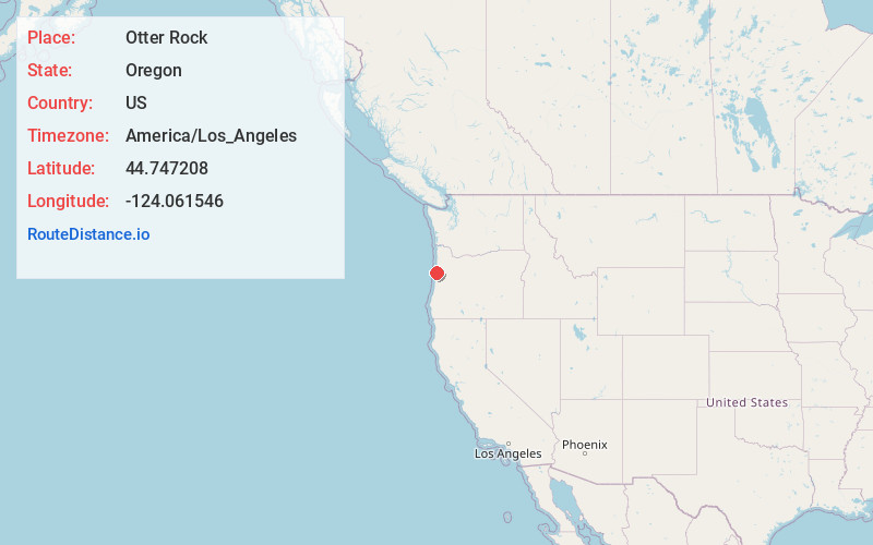
Full AddressOtter Rock, OR 97369
-
Coordinates44.747208, -124.0615459
-
LocationOtter Rock , Oregon , US
-
TimezoneAmerica/Los_Angeles
-
Current Local Time4:12:59 AM America/Los_AngelesSaturday, June 21, 2025
-
Page Views0
About Otter Rock
Otter Rock is an unincorporated community in Lincoln County, Oregon, United States. It is located on U.S. Route 101 along the Oregon Coast. Otter Rock is 5.4 miles south of Depoe Bay and 8 miles north of Newport, Oregon.


Nearby Places
Found 10 places within 50 miles

Beverly Beach
1.9 mi
3.1 km
Beverly Beach, OR 97365
Get directions

Depoe Bay
4.2 mi
6.8 km
Depoe Bay, OR 97341
Get directions

Siletz
7.2 mi
11.6 km
Siletz, OR 97380
Get directions

Lincoln Beach
7.2 mi
11.6 km
Lincoln Beach, OR
Get directions

Newport
7.6 mi
12.2 km
Newport, OR
Get directions

Toledo
10.6 mi
17.1 km
Toledo, OR
Get directions

Kernville
10.9 mi
17.5 km
Kernville, OR 97367
Get directions
Pioneer
11.6 mi
18.7 km
Pioneer, OR 97391
Get directions
Oysterville
12.1 mi
19.5 km
Oysterville, OR 97365
Get directions

Logsden
13.1 mi
21.1 km
Logsden, OR 97357
Get directions
Location Links
Local Weather
Weather Information
Coming soon!
Location Map
Static map view of Otter Rock, Oregon
Browse Places by Distance
Places within specific distances from Otter Rock
Short Distances
Long Distances
Click any distance to see all places within that range from Otter Rock. Distances shown in miles (1 mile ≈ 1.61 kilometers).