Distance to Ough, Nebraska

Calculating Your Route
Just a moment while we process your request...
Location Information
-
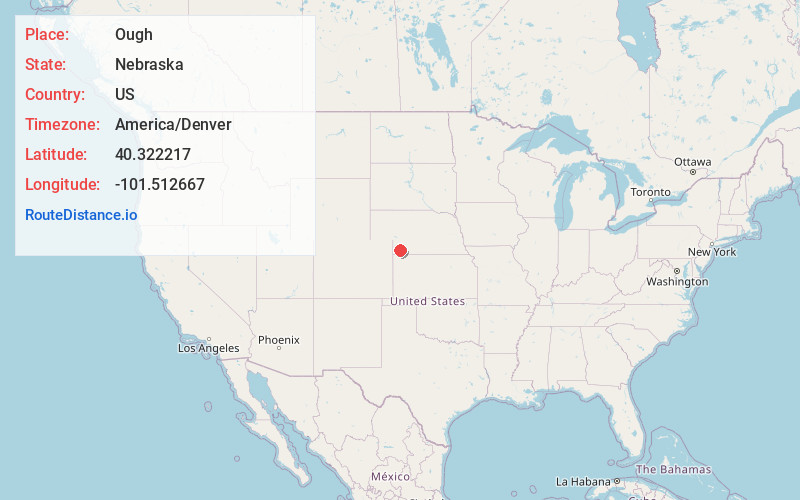
Full AddressOugh, NE 69045
-
Coordinates40.3222166, -101.5126668
-
LocationOugh , Nebraska , US
-
TimezoneAmerica/Denver
-
Current Local Time12:44:22 AM America/DenverWednesday, July 2, 2025
-
Page Views0
About Ough
Ough is a former unincorporated community in Dundy County, Nebraska, United States. All that is left at Ough today is a farmhouse and compound. There are three silos on the Ough farmland.
Nearby Places
Found 10 places within 50 miles

Enders
9.2 mi
14.8 km
Enders, NE 69027
Get directions
Wauneta
9.9 mi
15.9 km
Wauneta, NE 69045
Get directions

Imperial
15.1 mi
24.3 km
Imperial, NE 69033
Get directions
Hamlet
15.3 mi
24.6 km
Hamlet, NE 69040
Get directions
Max
15.5 mi
24.9 km
Max, NE
Get directions
Champion
16.0 mi
25.7 km
Champion, NE 69023
Get directions
Lamont
19.0 mi
30.6 km
Lamont, Benkelman No. 3 Precinct, NE 69030
Get directions

Benkelman
19.0 mi
30.6 km
Benkelman, NE 69021
Get directions
Stratton
19.3 mi
31.1 km
Stratton, NE 69043
Get directions

Palisade
21.4 mi
34.4 km
Palisade, NE 69040
Get directions
Location Links
Local Weather
Weather Information
Coming soon!
Location Map
Static map view of Ough, Nebraska
Browse Places by Distance
Places within specific distances from Ough
Short Distances
Long Distances
Click any distance to see all places within that range from Ough. Distances shown in miles (1 mile ≈ 1.61 kilometers).