Distance to Outlet Bay, Idaho

Calculating Your Route
Just a moment while we process your request...
Location Information
-
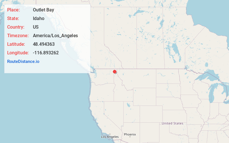
Full AddressOutlet Bay, ID 83856
-
Coordinates48.4943628, -116.8932624
-
LocationOutlet Bay , Idaho , US
-
TimezoneAmerica/Los_Angeles
-
Current Local Time1:28:52 PM America/Los_AngelesWednesday, June 18, 2025
-
Page Views0
About Outlet Bay
Outlet Bay is an unincorporated community in Bonner County, Idaho, United States. Outlet Bay is located on the southwest shore of Priest Lake, 21 miles north of Priest River. The community is served by Idaho State Highway 57.
Nearby Places
Found 10 places within 50 miles

Sherwood Beach
2.4 mi
3.9 km
Sherwood Beach, ID 83821
Get directions
Locke
20.0 mi
32.2 km
Locke, WA 99119
Get directions

Ponderay
21.0 mi
33.8 km
Ponderay, ID
Get directions

Dover
21.3 mi
34.3 km
Dover, ID
Get directions

Cusick
21.5 mi
34.6 km
Cusick, WA
Get directions

Kootenai
21.6 mi
34.8 km
Kootenai, ID
Get directions

Sandpoint
21.7 mi
34.9 km
Sandpoint, ID 83864
Get directions

Priest River
21.7 mi
34.9 km
Priest River, ID 83856
Get directions
Furport
21.7 mi
34.9 km
Furport, WA 99156
Get directions

Oldtown
22.8 mi
36.7 km
Oldtown, ID 83822
Get directions
Location Links
Local Weather
Weather Information
Coming soon!
Location Map
Static map view of Outlet Bay, Idaho
Browse Places by Distance
Places within specific distances from Outlet Bay
Short Distances
Long Distances
Click any distance to see all places within that range from Outlet Bay. Distances shown in miles (1 mile ≈ 1.61 kilometers).