Distance to Ovando, Montana

Calculating Your Route
Just a moment while we process your request...
Location Information
-
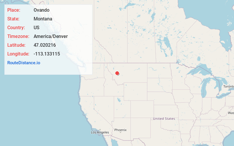
Full AddressOvando, MT 59854
-
Coordinates47.0202162, -113.1331153
-
LocationOvando , Montana , US
-
TimezoneAmerica/Denver
-
Current Local Time6:20:27 PM America/DenverFriday, June 20, 2025
-
Page Views0
About Ovando
Ovando is a census-designated place in Powell County, Montana, United States. It is approximately fifty-four miles ENE of Missoula, Montana. The population was 71 at the 2000 census.
Ovando Hoyt was postmaster from 1883 to 1898. The Bob Marshall and Scapegoat wilderness areas are nearby.


Nearby Places
Found 10 places within 50 miles

Helmville
13.4 mi
21.6 km
Helmville, MT 59843
Get directions

Seeley Lake
19.9 mi
32.0 km
Seeley Lake, MT
Get directions

Lincoln
21.8 mi
35.1 km
Lincoln, MT 59639
Get directions

Drummond
24.4 mi
39.3 km
Drummond, MT 59832
Get directions

Twin Creeks
28.4 mi
45.7 km
Twin Creeks, MT 59823
Get directions
Clinton
32.4 mi
52.1 km
Clinton, MT 59825
Get directions

Turah
35.2 mi
56.6 km
Turah, MT
Get directions
Piltzville
36.1 mi
58.1 km
Piltzville, MT 59802
Get directions

Garrison
37.6 mi
60.5 km
Garrison, MT 59731
Get directions

Avon
38.6 mi
62.1 km
Avon, MT
Get directions
Location Links
Local Weather
Weather Information
Coming soon!
Location Map
Static map view of Ovando, Montana
Browse Places by Distance
Places within specific distances from Ovando
Short Distances
Long Distances
Click any distance to see all places within that range from Ovando. Distances shown in miles (1 mile ≈ 1.61 kilometers).