Distance to Ovapa, West Virginia

Calculating Your Route
Just a moment while we process your request...
Location Information
-
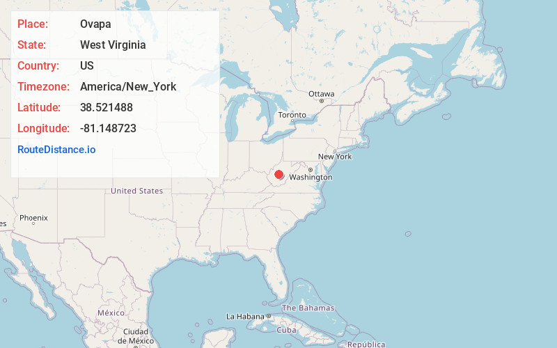
Full AddressOvapa, WV 25164
-
Coordinates38.5214876, -81.1487233
-
LocationOvapa , West Virginia , US
-
TimezoneAmerica/New_York
-
Current Local Time3:58:36 PM America/New_YorkWednesday, July 2, 2025
-
Page Views0
About Ovapa
Ovapa is an unincorporated community in Clay County, West Virginia, United States. Ovapa is 5.5 miles northwest of Clay.
The community's name most likely is a portmanteau of Ohio, Virginia and Pennsylvania.
Nearby Places
Found 10 places within 50 miles

Paxton
1.9 mi
3.1 km
Paxton, WV 25164
Get directions
Maysel
3.1 mi
5.0 km
Maysel, WV 25133
Get directions

Wallback
3.2 mi
5.1 km
Wallback, WV 25285
Get directions
Pigeon
3.4 mi
5.5 km
Pigeon, WV 25164
Get directions
Procious
3.7 mi
6.0 km
Procious, WV 25164
Get directions
Marne
4.3 mi
6.9 km
Marne, WV 25164
Get directions
Rouzer
4.5 mi
7.2 km
Rouzer, WV 25164
Get directions
Spread
4.6 mi
7.4 km
Spread, WV 25043
Get directions
Newton
5.1 mi
8.2 km
Newton, WV 25266
Get directions

Elkhurst
5.1 mi
8.2 km
Elkhurst, WV 25164
Get directions
Location Links
Local Weather
Weather Information
Coming soon!
Location Map
Static map view of Ovapa, West Virginia
Browse Places by Distance
Places within specific distances from Ovapa
Short Distances
Long Distances
Click any distance to see all places within that range from Ovapa. Distances shown in miles (1 mile ≈ 1.61 kilometers).