Distance to Overall, Virginia

Calculating Your Route
Just a moment while we process your request...
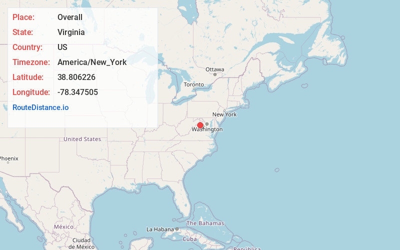
Location Information
-
Full AddressOverall, VA 22610
-
Coordinates38.8062263, -78.3475045
-
LocationOverall , Virginia , US
-
TimezoneAmerica/New_York
-
Current Local Time7:16:22 AM America/New_YorkFriday, June 6, 2025
-
Page Views0
About Overall
Overall is an unincorporated community in Warren County, Virginia, United States. It is considered to be a part of the Washington-Arlington metro area. The latitude of Overall is 38.806N and the longitude is -78.347W. It sits at an elevation of 630 feet just at the Stonewall Jackson Highway. ZIP code is 22650.


Nearby Places
Found 10 places within 50 miles

Bentonville
2.4 mi
3.9 km
Bentonville, VA 22610
Get directions

Rileyville
3.6 mi
5.8 km
Rileyville, VA 22650
Get directions

Goods Mill
4.0 mi
6.4 km
Goods Mill, VA 22650
Get directions

Seven Fountains
4.7 mi
7.6 km
Seven Fountains, VA 22652
Get directions
Carmel
4.7 mi
7.6 km
Carmel, VA 22652
Get directions
Limeton
5.1 mi
8.2 km
Limeton, VA 22630
Get directions
Fourway
5.8 mi
9.3 km
Fourway, VA 22747
Get directions

Browntown
6.1 mi
9.8 km
Browntown, VA 22610
Get directions
Dilbeck
6.3 mi
10.1 km
Dilbeck, VA 22652
Get directions
Boyds Mill
6.5 mi
10.5 km
Boyds Mill, VA 22630
Get directions
Location Links
Local Weather
Weather Information
Coming soon!
Location Map
Static map view of Overall, Virginia
Browse Places by Distance
Places within specific distances from Overall
Short Distances
Long Distances
Click any distance to see all places within that range from Overall. Distances shown in miles (1 mile ≈ 1.61 kilometers).