Distance to Owatonna, Minnesota

Calculating Your Route
Just a moment while we process your request...
Location Information
-
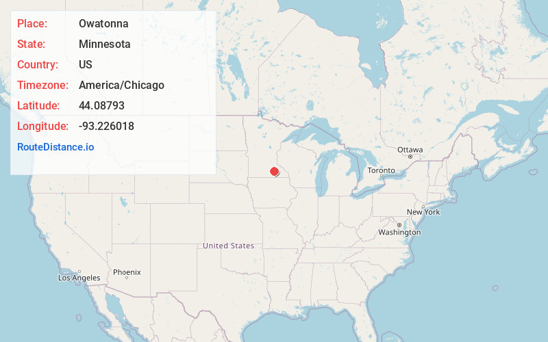
Full AddressOwatonna, MN
-
Coordinates44.0879297, -93.2260184
-
LocationOwatonna , Minnesota , US
-
TimezoneAmerica/Chicago
-
Current Local Time12:40:23 PM America/ChicagoTuesday, June 24, 2025
-
Page Views0
About Owatonna
Owatonna is a city and the county seat of Steele County, Minnesota, United States. The population was 26,420 at the 2020 census. Owatonna is home to the Steele County Fairgrounds, which hosts the Steele County Free Fair in August.
Interstate 35 and U.S. Highways 14 and 218 are three of the main routes in the city.


Nearby Places
Found 10 places within 50 miles

Austin
31.7 mi
51.0 km
Austin, MN 55912
Get directions

Rochester
38.4 mi
61.8 km
Rochester, MN
Get directions

Lakeville
38.8 mi
62.4 km
Lakeville, MN
Get directions

Mankato
39.0 mi
62.8 km
Mankato, MN
Get directions

Prior Lake
44.3 mi
71.3 km
Prior Lake, MN
Get directions

Apple Valley
44.5 mi
71.6 km
Apple Valley, MN 55124
Get directions

Rosemount
45.3 mi
72.9 km
Rosemount, MN 55068
Get directions

Burnsville
47.0 mi
75.6 km
Burnsville, MN
Get directions

Savage
47.2 mi
76.0 km
Savage, MN
Get directions

Eagan
49.6 mi
79.8 km
Eagan, MN
Get directions
Location Links
Local Weather
Weather Information
Coming soon!
Location Map
Static map view of Owatonna, Minnesota
Browse Places by Distance
Places within specific distances from Owatonna
Short Distances
Long Distances
Click any distance to see all places within that range from Owatonna. Distances shown in miles (1 mile ≈ 1.61 kilometers).