Distance to Oxbow, North Dakota

Calculating Your Route
Just a moment while we process your request...
Location Information
-
Full AddressOxbow, ND 58047
-
Coordinates46.6699634, -96.8003601
-
LocationOxbow , North Dakota , US
-
TimezoneAmerica/Chicago
-
Current Local Time10:11:05 PM America/ChicagoTuesday, June 3, 2025
-
Page Views0
About Oxbow
Oxbow is a city in Cass County, North Dakota, United States. The population was 381 at the 2020 census. It is an upscale bedroom community located 15 miles south of Fargo. It was incorporated as a city October 25, 1988.
Nearby Places
Found 10 places within 50 miles

Horace
7.9 mi
12.7 km
Horace, ND
Get directions

Sabin
10.3 mi
16.6 km
Sabin, MN 56580
Get directions

Kindred
10.4 mi
16.7 km
Kindred, ND 58051
Get directions

Moorhead
14.2 mi
22.9 km
Moorhead, MN
Get directions

Fargo
14.3 mi
23.0 km
Fargo, ND
Get directions

West Fargo
15.1 mi
24.3 km
West Fargo, ND
Get directions

Dilworth
15.1 mi
24.3 km
Dilworth, MN 56529
Get directions

Glyndon
17.8 mi
28.6 km
Glyndon, MN 56547
Get directions

Reile's Acres
17.9 mi
28.8 km
Reile's Acres, ND 58102
Get directions

Barnesville
18.1 mi
29.1 km
Barnesville, MN 56514
Get directions
Location Links
Local Weather
Weather Information
Coming soon!
Location Map
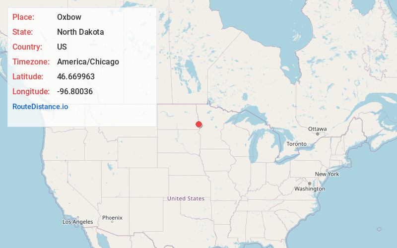
Static map view of Oxbow, North Dakota
Browse Places by Distance
Places within specific distances from Oxbow
Short Distances
Long Distances
Click any distance to see all places within that range from Oxbow. Distances shown in miles (1 mile ≈ 1.61 kilometers).