Distance to Oxford, Arkansas

Calculating Your Route
Just a moment while we process your request...
Location Information
-
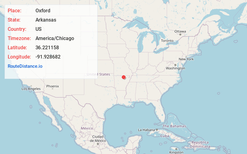
Full AddressOxford, AR
-
Coordinates36.2211583, -91.928682
-
LocationOxford , Arkansas , US
-
TimezoneAmerica/Chicago
-
Current Local Time12:48:21 AM America/ChicagoThursday, June 19, 2025
-
Page Views0
About Oxford
Oxford is a city in Izard County, Arkansas, United States. The population was 670 at the 2010 census.


Nearby Places
Found 10 places within 50 miles

Horseshoe Bend
9.5 mi
15.3 km
Horseshoe Bend, AR
Get directions

Melbourne
11.2 mi
18.0 km
Melbourne, AR 72556
Get directions

Salem
11.9 mi
19.2 km
Salem, AR 72576
Get directions

Calico Rock
13.5 mi
21.7 km
Calico Rock, AR
Get directions

Ash Flat
17.8 mi
28.6 km
Ash Flat, AR
Get directions

Highland
22.4 mi
36.0 km
Highland, AR
Get directions

Cherokee Village
23.1 mi
37.2 km
Cherokee Village, AR
Get directions

Mountain View
26.6 mi
42.8 km
Mountain View, AR 72560
Get directions

Mountain Home
26.7 mi
43.0 km
Mountain Home, AR
Get directions

Cave City
28.7 mi
46.2 km
Cave City, AR 72521
Get directions
Location Links
Local Weather
Weather Information
Coming soon!
Location Map
Static map view of Oxford, Arkansas
Browse Places by Distance
Places within specific distances from Oxford
Short Distances
Long Distances
Click any distance to see all places within that range from Oxford. Distances shown in miles (1 mile ≈ 1.61 kilometers).