Distance to Oxfordshire, England

Calculating Your Route
Just a moment while we process your request...
Location Information
-
Full AddressOxfordshire, UK
-
Coordinates51.7612056, -1.2464674
-
LocationEngland , GB
-
TimezoneEurope/London
-
Current Local Time6:56:04 PM Europe/LondonTuesday, June 3, 2025
-
Page Views0
About Oxfordshire
Oxfordshire is a ceremonial county in South East England. The county is bordered by Northamptonshire and Warwickshire to the north, Buckinghamshire to the east, Berkshire to the south, and Wiltshire and Gloucestershire to the west. The city of Oxford is the largest settlement and county town.


Nearby Places
Found 10 places within 50 miles

Oxford
0.8 mi
1.3 km
Oxford, UK
Get directions

Swindon
26.8 mi
43.1 km
Swindon, UK
Get directions

Milton Keynes
28.4 mi
45.7 km
Milton Keynes, UK
Get directions

Windsor
33.3 mi
53.6 km
Windsor, UK
Get directions

Windsor Castle
33.6 mi
54.1 km
Windsor Castle, Windsor SL4 1NJ, United Kingdom
Get directions

Stratford-upon-Avon
35.7 mi
57.5 km
Stratford-upon-Avon, UK
Get directions

Luton
36.2 mi
58.3 km
Luton, UK
Get directions

Cheltenham
36.8 mi
59.2 km
Cheltenham, UK
Get directions

Heathrow Airport
39.5 mi
63.6 km
Heathrow Airport (LHR), Hounslow, United Kingdom
Get directions

England
41.2 mi
66.3 km
England, UK
Get directions
Location Links
Local Weather
Weather Information
Coming soon!
Location Map
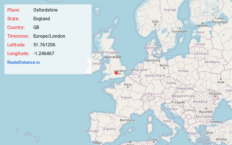
Static map view of Oxfordshire, England
Browse Places by Distance
Places within specific distances from Oxfordshire
Short Distances
Long Distances
Click any distance to see all places within that range from Oxfordshire. Distances shown in miles (1 mile ≈ 1.61 kilometers).