Distance to Oxnard, California

Calculating Your Route
Just a moment while we process your request...
Location Information
-
Full AddressOxnard, CA
-
Coordinates34.1976816, -119.1774639
-
LocationOxnard , California , US
-
TimezoneAmerica/Los_Angeles
-
Current Local Time12:07:52 PM America/Los_AngelesWednesday, May 28, 2025
-
Website
-
Page Views0
About Oxnard
Oxnard is a seaside city west of Los Angeles, in California. Its central Carnegie Art Museum displays contemporary California art in a former library, built in 1906. Nearby, early-1900s homes dot Heritage Square. On the Pacific Coast, Oxnard Beach Park has a wide, sandy shoreline and a grassy lawns, with picnic tables and views of Channel Islands National Park and the Channel Islands National Marine Sanctuary.


Location Links
Local Weather
Weather Information
Coming soon!
Location Map
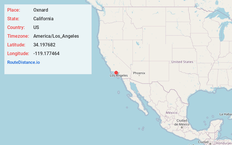
Static map view of Oxnard, California
Browse Places by Distance
Places within specific distances from Oxnard
Short Distances
Long Distances
Click any distance to see all places within that range from Oxnard. Distances shown in miles (1 mile ≈ 1.61 kilometers).