Distance to Oyster Harbor, Maryland

Calculating Your Route
Just a moment while we process your request...
Location Information
-
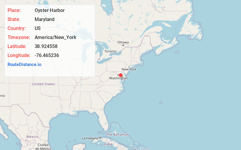
Full AddressOyster Harbor, Annapolis Neck, MD 21403
-
Coordinates38.9245578, -76.4652362
-
LocationAnnapolis Neck , Maryland , US
-
TimezoneAmerica/New_York
-
Current Local Time1:40:45 AM America/New_YorkFriday, June 20, 2025
-
Page Views0
Nearby Places
Found 10 places within 50 miles

Highland Beach
0.4 mi
0.6 km
Highland Beach, MD 21403
Get directions

Lands End
1.7 mi
2.7 km
Lands End, Annapolis Neck, MD 21403
Get directions
Annapolis Roads
1.9 mi
3.1 km
Annapolis Roads, Annapolis Neck, MD 21403
Get directions
Shoreham Beach
2.3 mi
3.7 km
Shoreham Beach, Mayo, MD 21037
Get directions
Elktonia
2.6 mi
4.2 km
Elktonia, Annapolis, MD 21403
Get directions
Bembe Beach
2.8 mi
4.5 km
Bembe Beach, Annapolis, MD 21403
Get directions
Saunders Point
2.9 mi
4.7 km
Saunders Point, Mayo, MD 21037
Get directions
Selby Beach
3.0 mi
4.8 km
Selby Beach, Mayo, MD 21037
Get directions
Cape Loch Haven
3.1 mi
5.0 km
Cape Loch Haven, Mayo, MD 21037
Get directions
Ponder Cove
3.4 mi
5.5 km
Ponder Cove, Mayo, MD 21037
Get directions
Location Links
Local Weather
Weather Information
Coming soon!
Location Map
Static map view of Oyster Harbor, Maryland
Browse Places by Distance
Places within specific distances from Oyster Harbor
Short Distances
Long Distances
Click any distance to see all places within that range from Oyster Harbor. Distances shown in miles (1 mile ≈ 1.61 kilometers).