Distance to Oyster Point, South Carolina

Calculating Your Route
Just a moment while we process your request...
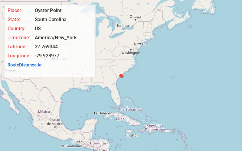
Location Information
-
Full AddressOyster Point, Charleston, SC 29401
-
Coordinates32.7693436, -79.9289773
-
NeighborhoodSouth of Broad
-
LocationCharleston , South Carolina , US
-
TimezoneAmerica/New_York
-
Current Local Time4:47:57 AM America/New_YorkWednesday, June 4, 2025
-
Page Views1


Nearby Places
Found 10 places within 50 miles

Charleston
1.0 mi
1.6 km
Charleston, SC
Get directions

Parrot Point
3.0 mi
4.8 km
Parrot Point, Charleston, SC 29412
Get directions

James Island
3.1 mi
5.0 km
James Island, SC 29412
Get directions

Mt Pleasant
3.3 mi
5.3 km
Mt Pleasant, SC
Get directions
Seaside
4.1 mi
6.6 km
Seaside, Charleston, SC 29412
Get directions
Brentwood
7.7 mi
12.4 km
Brentwood, North Charleston, SC 29405
Get directions

Folly Beach
7.9 mi
12.7 km
Folly Beach, SC
Get directions

Palmetto Fort
8.4 mi
13.5 km
Palmetto Fort, Mt Pleasant, SC 29466
Get directions

North Charleston
8.7 mi
14.0 km
North Charleston, SC
Get directions
Liberty Hills
8.7 mi
14.0 km
Liberty Hills, North Charleston, SC 29405
Get directions
Location Links
Local Weather
Weather Information
Coming soon!
Location Map
Static map view of Oyster Point, South Carolina
Browse Places by Distance
Places within specific distances from Oyster Point
Short Distances
Long Distances
Click any distance to see all places within that range from Oyster Point. Distances shown in miles (1 mile ≈ 1.61 kilometers).