Distance to and from Oyster, Virginia
Oyster, VA 23310
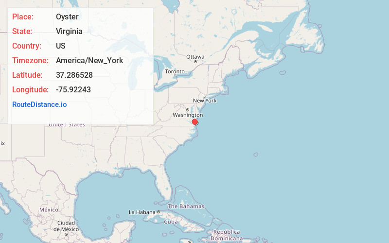
Oyster
Virginia
US
America/New_York
Location Information
-
Full AddressOyster, VA 23310
-
Coordinates37.2865276, -75.9224298
-
LocationOyster , Virginia , US
-
TimezoneAmerica/New_York
-
Current Local Time10:40:49 PM America/New_YorkSaturday, May 3, 2025
-
Page Views0
Directions to Nearest Cities
About Oyster
Oyster is a small unincorporated community on the Atlantic Coast of the Eastern Shore of the U.S. state of Virginia in Northampton County. It is at an elevation of 3 feet above sea level.


Nearby Places
Found 10 places within 50 miles

Pat Town
1.7 mi
2.7 km
Pat Town, VA 23310
Get directions
Seaview
2.1 mi
3.4 km
Seaview, VA 23310
Get directions
Cheriton
2.7 mi
4.3 km
Cheriton, VA 23310
Get directions

Eastville
4.7 mi
7.6 km
Eastville, VA 23310
Get directions

Cape Charles
5.4 mi
8.7 km
Cape Charles, VA 23310
Get directions
James Crossroads
5.4 mi
8.7 km
James Crossroads, Eastville, VA 23310
Get directions

Northampton County
5.7 mi
9.2 km
Northampton County, VA
Get directions

Townsend
7.3 mi
11.7 km
Townsend, VA 23310
Get directions
Magotha
7.5 mi
12.1 km
Magotha, VA 23310
Get directions

Birdsnest
10.8 mi
17.4 km
Birdsnest, VA 23307
Get directions
Pat Town
1.7 mi
2.7 km
Pat Town, VA 23310
Seaview
2.1 mi
3.4 km
Seaview, VA 23310
Cheriton
2.7 mi
4.3 km
Cheriton, VA 23310
Eastville
4.7 mi
7.6 km
Eastville, VA 23310
Cape Charles
5.4 mi
8.7 km
Cape Charles, VA 23310
James Crossroads
5.4 mi
8.7 km
James Crossroads, Eastville, VA 23310
Northampton County
5.7 mi
9.2 km
Northampton County, VA
Townsend
7.3 mi
11.7 km
Townsend, VA 23310
Magotha
7.5 mi
12.1 km
Magotha, VA 23310
Birdsnest
10.8 mi
17.4 km
Birdsnest, VA 23307
Location Links
Local Weather
Weather Information
Coming soon!
Location Map
Static map view of Oyster, Virginia
Browse Places by Distance
Places within specific distances from Oyster
Short Distances
Long Distances
Click any distance to see all places within that range from Oyster. Distances shown in miles (1 mile ≈ 1.61 kilometers).