Distance to Ozark, Illinois

Calculating Your Route
Just a moment while we process your request...
Location Information
-
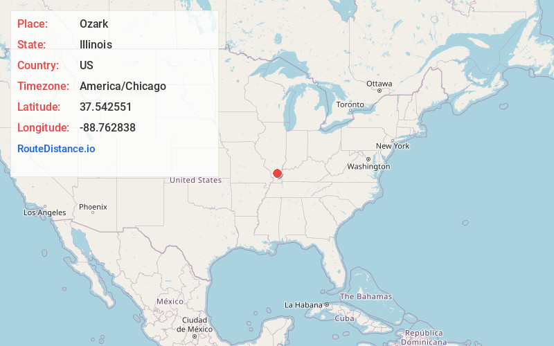
Full AddressOzark, IL 62972
-
Coordinates37.5425505, -88.7628377
-
LocationOzark , Illinois , US
-
TimezoneAmerica/Chicago
-
Current Local Time12:08:14 AM America/ChicagoWednesday, June 25, 2025
-
Page Views0
About Ozark
Ozark is an unincorporated community in Johnson County, Illinois, United States. Ozark is south of New Burnside. and has a post office with ZIP code 62972. Ozark is also home to Camp Ondessonk, a Catholic youth camp that is run by the Diocese of Belleville.

Nearby Places
Found 10 places within 50 miles

Reynoldsburg
2.0 mi
3.2 km
Reynoldsburg, IL 62972
Get directions
New Burnside
2.6 mi
4.2 km
New Burnside, IL
Get directions
Sandburn
4.9 mi
7.9 km
Sandburn, Bloomfield Precinct, IL 62995
Get directions

Simpson
5.2 mi
8.4 km
Simpson, IL 62985
Get directions
Stonefort
5.8 mi
9.3 km
Stonefort, IL
Get directions

Creal Springs
6.7 mi
10.8 km
Creal Springs, IL 62922
Get directions
Robbs
6.7 mi
10.8 km
Robbs, IL 62985
Get directions
Watkins Ford
7.2 mi
11.6 km
Watkins Ford, Eddyville No. 6 Precinct, IL 62985
Get directions
Glendale
7.8 mi
12.6 km
Glendale, Webster No. 5 Precinct, IL 62985
Get directions
Flatwoods
8.5 mi
13.7 km
Flatwoods, Grantsburg No. 1 Precinct, IL 62985
Get directions
Location Links
Local Weather
Weather Information
Coming soon!
Location Map
Static map view of Ozark, Illinois
Browse Places by Distance
Places within specific distances from Ozark
Short Distances
Long Distances
Click any distance to see all places within that range from Ozark. Distances shown in miles (1 mile ≈ 1.61 kilometers).